


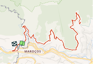

12,6 km | 20 km-effort

Tracés randos


Application GPS de randonnée GRATUITE
 SityTrail
IGN / Instituts géographiques
SityTrail World
Le monde est à vous
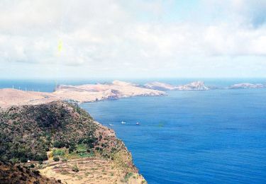
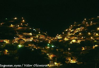
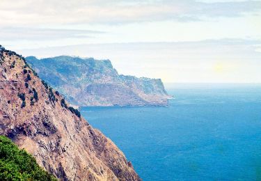
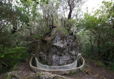
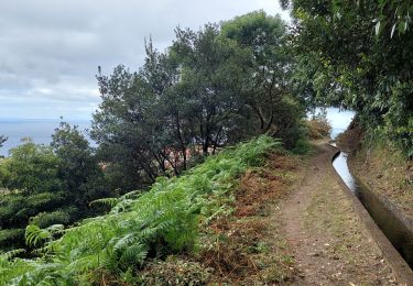
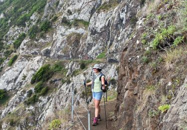
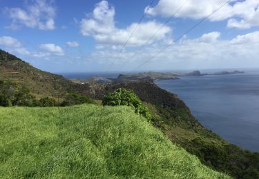
Randonnée Marche de 13,7 km à découvrir à Madère, Inconnu, Machico. Cette randonnée est proposée par Vacances.
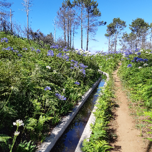
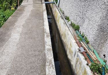
Rando facile entre culture et forêt mais pas exceptionnelle. Correspond à la 1/2 du tracé Rother n°13
Erreur sur le dénivelé -> Dénivelé exact = 80m
Marche
A pied
A pied
A pied
A pied
Marche
Marche
Autre activité

Marche