


58 km | 72 km-effort

Utilisateur


Application GPS de randonnée GRATUITE
 SityTrail
IGN / Instituts géographiques
SityTrail World
Le monde est à vous
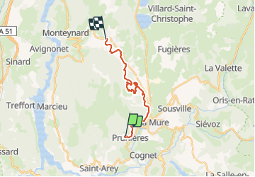
Randonnée Trail de 17,7 km à découvrir à Auvergne-Rhône-Alpes, Isère, Prunières. Cette randonnée est proposée par phd04.
Course trail effectuée le 06/07/2021 avec un départ à 19h30. 423 partants. Arrivé à la 237è place en 2h38'10".
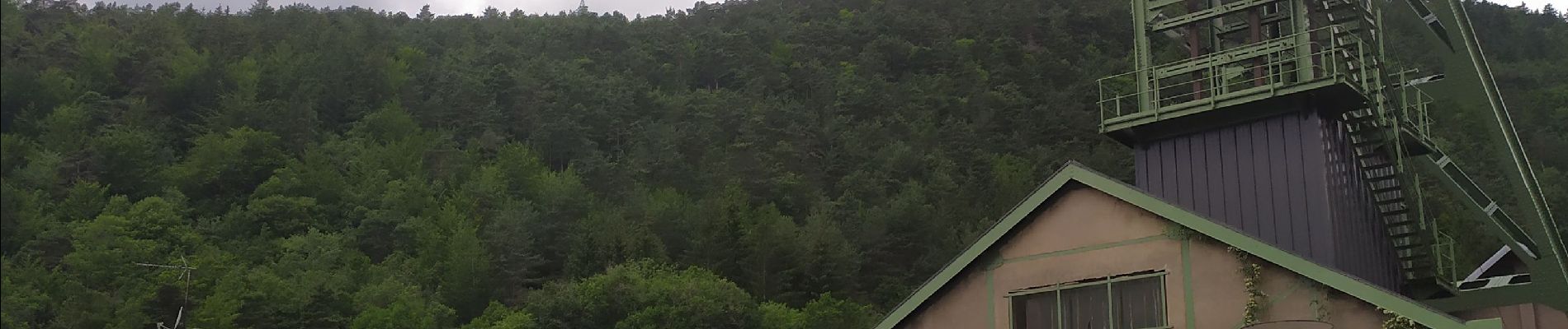
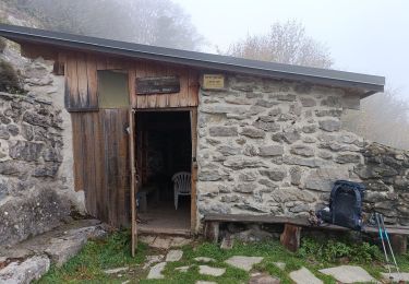
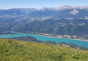
Très beau parcours avec une arrivée sous la pluie à la frontale et un passage souterrain. dans les anciennes mines de charbon.
Très bonne organisation et parcours bien balisé.
Merci à tous les bénévoles


Vélo de route

Marche
Marche
V.T.T.
Marche
Marche

Marche
Marche
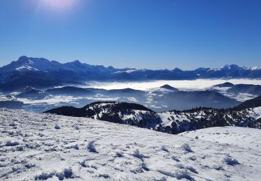
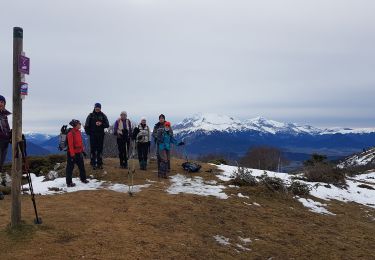
Raquettes à neige