


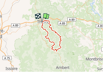


11,4 km | 18,3 km-effort


Utilisateur


Application GPS de randonnée GRATUITE
 SityTrail
IGN / Instituts géographiques
SityTrail World
Le monde est à vous
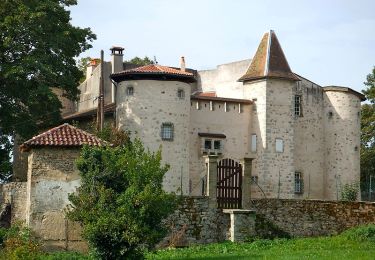
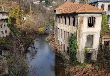
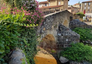
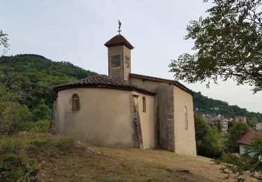
Randonnée Marche de 94 km à découvrir à Auvergne-Rhône-Alpes, Puy-de-Dôme, Thiers. Cette randonnée est proposée par arleol63.
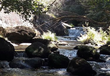
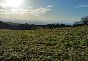
Ballade agréable dans le Forez. Il faut aimer la nature, les forets et les montagnes à vache.
Marche
Marche
Marche
A pied
A pied
A pied
A pied
A pied
Marche