


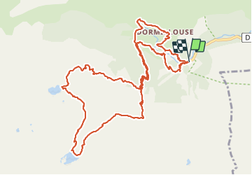

23 km | 47 km-effort

Utilisateur


Application GPS de randonnée GRATUITE
 SityTrail
IGN / Instituts géographiques
SityTrail World
Le monde est à vous
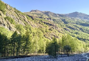
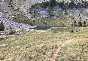
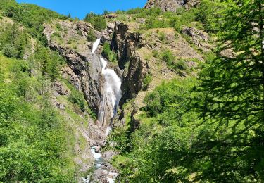
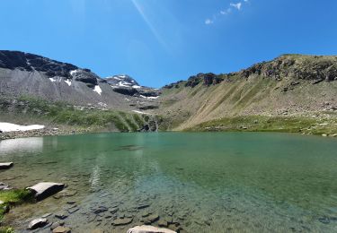
Randonnée Marche de 15,7 km à découvrir à Provence-Alpes-Côte d'Azur, Hautes-Alpes, Freissinières. Cette randonnée est proposée par rgoujon.
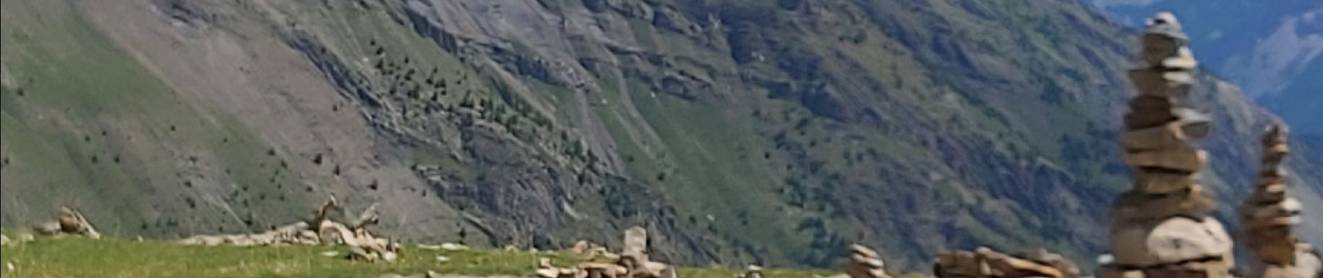
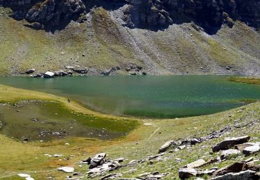
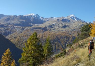
magnifique rando, des lacs alpins, des cascades, le champs des cairns, retour par ce beau village de Dormillouse et le sentier d'hiver jusqu'au parking des cascades.


Marche
Marche

Marche
Marche
Marche
Marche
Marche
Marche
Marche