


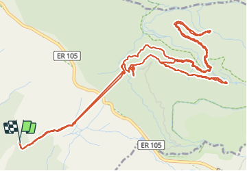

12,1 km | 22 km-effort

Tracés randos


Application GPS de randonnée GRATUITE
 SityTrail
IGN / Instituts géographiques
SityTrail World
Le monde est à vous
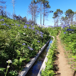
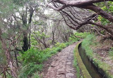
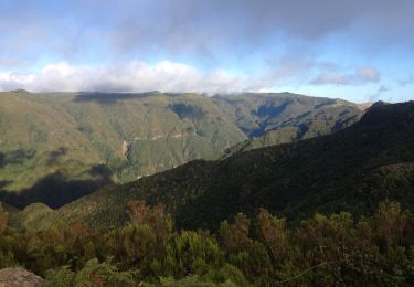
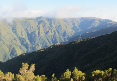
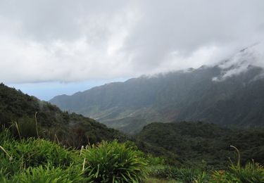
Randonnée Marche de 11,5 km à découvrir à Madère, Inconnu, Calheta. Cette randonnée est proposée par Vacances.
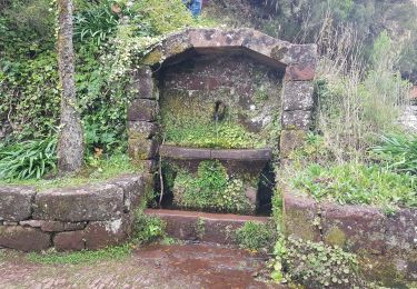
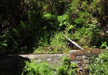
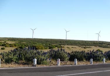
Assez fréquenté -> partir tôt (pb de calcul de dénivelé sous le tunnel -> D exact -> 150m
Faite avec guide
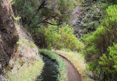
Marche

Autre activité
Marche
Marche
A pied
A pied
A pied
A pied
A pied