4,4 km | 7,7 km-effort
Tour du Bramont court
surceneux
Utilisateur
Longueur
11,2 km
Altitude max
936 m
Dénivelé positif
360 m
Km-Effort
16 km
Altitude min
702 m
Dénivelé négatif
353 m
Boucle
Oui
Date de création :
2021-06-27 13:48:23.493
Dernière modification :
2021-06-27 18:07:27.54
2h20
Difficulté : Facile
Application GPS de randonnée GRATUITE
À propos
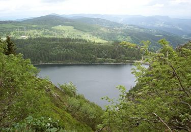
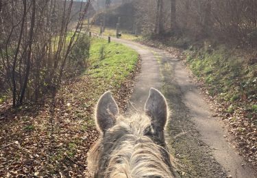
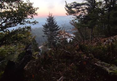
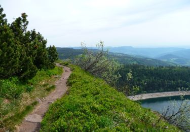
Randonnée Marche de 11,2 km à découvrir à Grand Est, Vosges, Plainfaing. Cette randonnée est proposée par surceneux.
Description
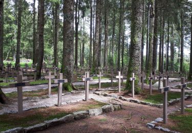
La Grange le Pour disque bleu AR Fourchon les Grands Prés la Hardalle Varsivaux La Grange Le Pour
Localisation
Pays :
France
Région :
Grand Est
Département/Province :
Vosges
Commune :
Plainfaing
Localité :
Unknown
Départ:(Dec)
Départ:(UTM)
353397 ; 5333947 (32U) N.
Commentaires
Randonnées à proximité
Le Tour du Lac Blanc par le Rocher Hans et le sentier de crête
Marche
Difficile
(3)
Orbey,
Grand Est,
Haut-Rhin,
France
2h 30min
Oui
Tête des faux .
Marche
Moyen
(1)
Le Bonhomme,
Grand Est,
Haut-Rhin,
France
11,9 km | 16,6 km-effort
3h 46min
Oui
Lac Blanc - Têtes des Faux
V.T.T.
Moyen
(1)
Orbey,
Grand Est,
Haut-Rhin,
France
15,3 km | 21 km-effort
1h 0min
Oui
2024-09-22 WE CVA Biffontaine Chaume de Serichamp
Randonnée équestre
Moyen
Fraize,
Grand Est,
Vosges,
France
25 km | 36 km-effort
4h 40min
Oui
2022-07-23 Marche Lacs Blanc Noir Forlet
Marche
Moyen
Orbey,
Grand Est,
Haut-Rhin,
France
16,2 km | 26 km-effort
5h 57min
Oui
20. Les belvédères des trois lacs
A pied
Facile
Le Valtin,
Grand Est,
Vosges,
France
4,5 km | 6,6 km-effort
1h 29min
Non
Le gazon du faing
Marche
Moyen
Le Valtin,
Grand Est,
Vosges,
France
8,9 km | 12,4 km-effort
2h 45min
Oui
Vallée des 5 lacs
Marche
Difficile
Orbey,
Grand Est,
Haut-Rhin,
France
28 km | 48 km-effort
7h 21min
Oui
Col du Calvaire ➡️ Lac Blanc
Marche
Moyen
Orbey,
Grand Est,
Haut-Rhin,
France
8,6 km | 12,8 km-effort
3h 9min
Oui