


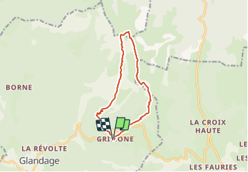

8,5 km | 18,1 km-effort

Utilisateur GUIDE


Application GPS de randonnée GRATUITE
 SityTrail
IGN / Instituts géographiques
SityTrail World
Le monde est à vous
Randonnée Marche de 12 km à découvrir à Auvergne-Rhône-Alpes, Drôme, Glandage. Cette randonnée est proposée par thonyc.
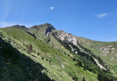
TRÈS IMPORTANT: montée au Jocou après le col de Seysse interdite l'été car présence troupeaux et patoux
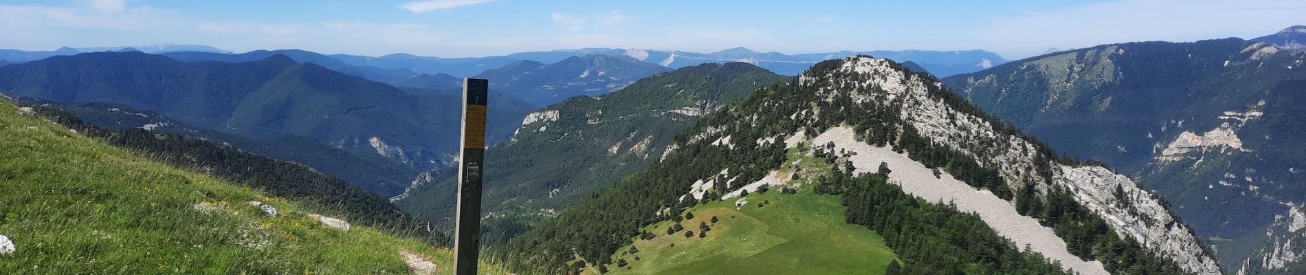
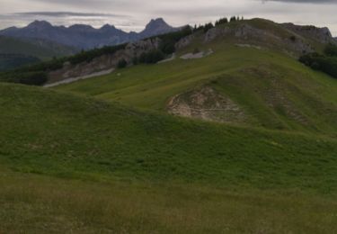
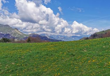
Panoramas exceptionnels
Forte montée après le col de Seysse pour atteindre la crête du Jocou
Passage vertigineux sans danger toutefois


Marche

Marche

Marche

A pied

A pied

A pied
Marche
Marche
Marche