


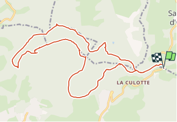


27 km | 39 km-effort


Utilisateur


Application GPS de randonnée GRATUITE
 SityTrail
IGN / Instituts géographiques
SityTrail World
Le monde est à vous
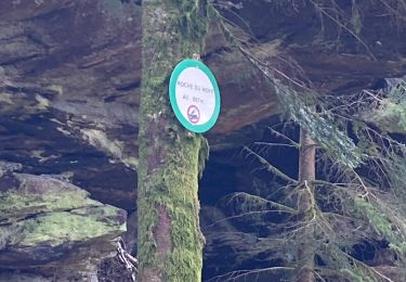
Randonnée A pied de 13,1 km à découvrir à Grand Est, Vosges, Saint-Jean-d'Ormont. Cette randonnée est proposée par wirth .
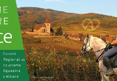
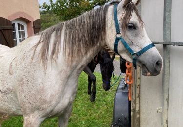
Randonnée équestre
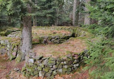
Marche
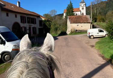
Randonnée équestre
Randonnée équestre
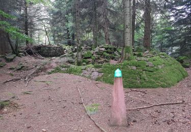
Marche
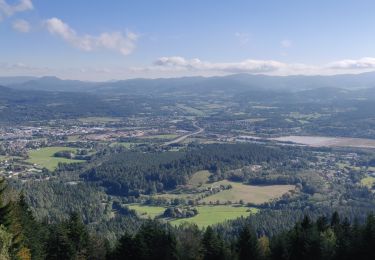
Marche
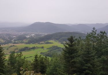
Marche
Marche

Randonnée équestre