


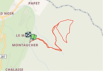

13,2 km | 22 km-effort


Utilisateur


Application GPS de randonnée GRATUITE
 SityTrail
IGN / Instituts géographiques
SityTrail World
Le monde est à vous
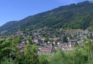
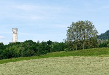
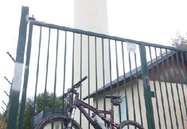
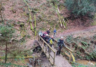
Randonnée Marche de 5,2 km à découvrir à Auvergne-Rhône-Alpes, Isère, Pontcharra. Cette randonnée est proposée par doumeherve.
piste forestière
Marche
Marche
Marche

A pied
A pied
A pied
V.T.T.
Marche
Marche