


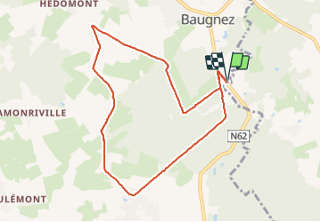


14,8 km | 18,9 km-effort

Utilisateur GUIDE


Application GPS de randonnée GRATUITE
 SityTrail
IGN / Instituts géographiques
SityTrail World
Le monde est à vous
Randonnée Marche de 8,4 km à découvrir à Wallonie, Liège, Malmedy. Cette randonnée est proposée par pierreh01.
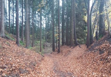
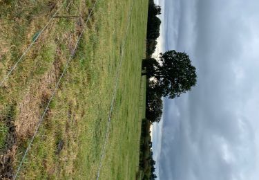
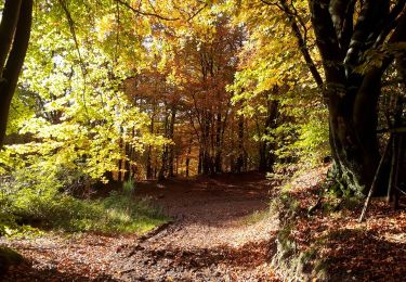
Balade HUWAO de ce dimanche 20 juin 2021, au départ de MALMEDY - Baugnez, sous une météo très agréable.


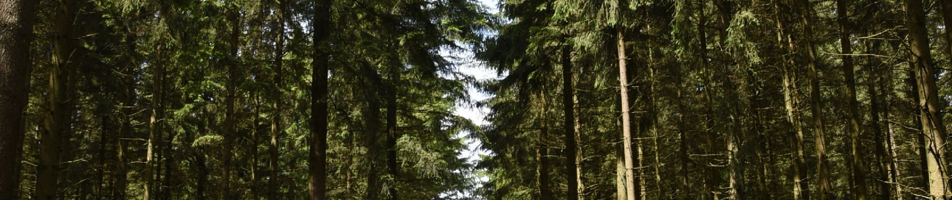
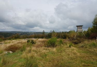
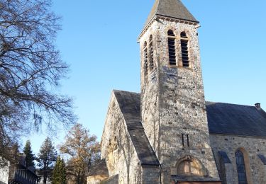
40 photos au total. Cliquez sur une photo pour les afficher toutes dans la galerie.

Marche

Marche
Marche

Marche
Marche
Marche
A pied
Marche