


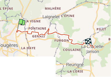

5,3 km | 6,3 km-effort

Utilisateur


Application GPS de randonnée GRATUITE
 SityTrail
IGN / Instituts géographiques
SityTrail World
Le monde est à vous
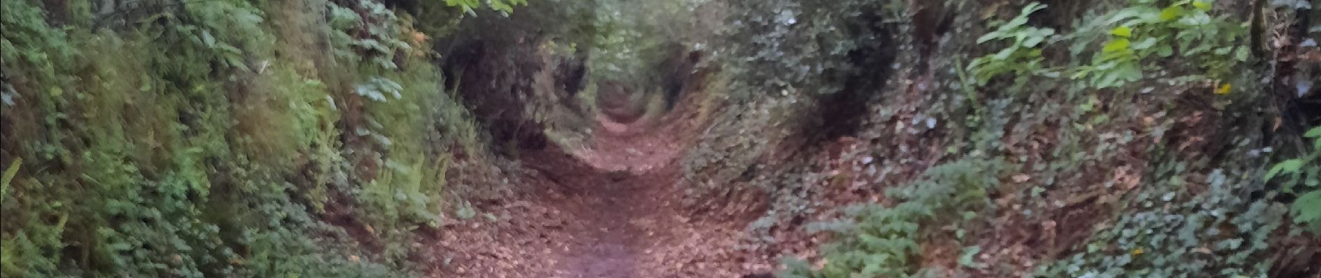
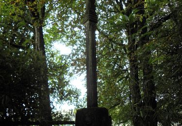
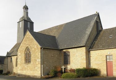
Randonnée Marche de 9,9 km à découvrir à Bretagne, Ille-et-Vilaine, Fougères. Cette randonnée est proposée par patrickdanilo.
GR®37
Cœur de la Bretagne
Du Mont-Saint-Michel (Manche) Normandie
à Camaret-sur-Mer (Finistère) Bretagne
780km


A pied
A pied
Marche nordique
Marche nordique
Marche nordique
Marche nordique
Marche nordique
Marche nordique
Marche nordique