


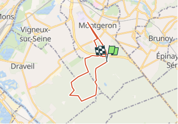


16,8 km | 18,6 km-effort


Club randonnées SERVON


Application GPS de randonnée GRATUITE
 SityTrail
IGN / Instituts géographiques
SityTrail World
Le monde est à vous
Randonnée Marche de 12,4 km à découvrir à Île-de-France, Essonne, Montgeron. Cette randonnée est proposée par Les 1000 pattes.
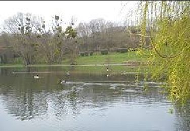
La Pelouse: lieu historique
Parking Carrefour de Montgeron - Route Forestière de Chalandray - Montgeron
Trajet Servon--> Montgeron: 24km (25mn)


Marche

A pied
A pied

A pied

Marche
Marche

Marche

Marche

Marche