


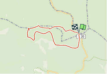

38 km | 47 km-effort

Utilisateur


Application GPS de randonnée GRATUITE
 SityTrail
IGN / Instituts géographiques
SityTrail World
Le monde est à vous
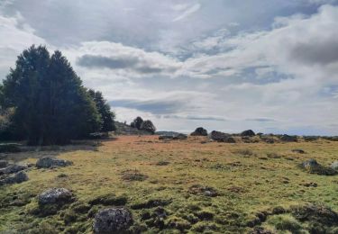
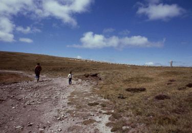
Randonnée Marche de 7,1 km à découvrir à Occitanie, Lozère, Mont Lozère et Goulet. Cette randonnée est proposée par randodan.
D'après le circuit 26082020 de Amourette que je remercie.
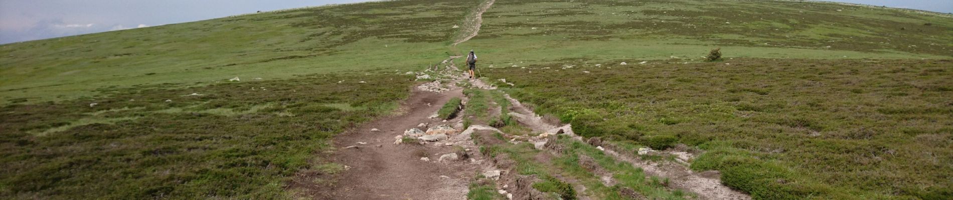
Belle petite rando, facile, agréable même par temps couvert.


V.T.T.

Marche

Marche
Marche

Marche

A pied
Vélo électrique
A pied
A pied