![](/images/other/stat-length.png)
![Randonnée Marche Aspremont - Aspremont tour du Mont Chauve, montée au fort. - Photo](https://media.geolcdn.com/t/1900/400/16e89ccd-b354-4ef1-b144-0fc157d8768e.jpg&format=pjpeg&maxdim=2)
Aspremont tour du Mont Chauve, montée au fort.
jll7513
Utilisateur
![Longueur](/images/other/stat-length.png)
![Altitude max](https://static1.geolcdn.com/siteimages/upload/files/1508320355ic_sort_altitude_max_24dp.png)
![Dénivelé positif](https://static1.geolcdn.com/siteimages/upload/files/1508320355ic_sort_den_pos_24dp.png)
![Km-Effort](/images/other/stat-length.png)
![Altitude min](https://static1.geolcdn.com/siteimages/upload/files/1508320355ic_sort_altitude_min_24dp.png)
![Dénivelé négatif](https://static1.geolcdn.com/siteimages/upload/files/1508320355ic_sort_den_neg_24dp.png)
![Boucle](https://static1.geolcdn.com/siteimages/upload/files/16400158638029165_repeat_loop_refresh_sync_direction_icon.png)
![Marche](https://static1.geolcdn.com/sitytour/trail-icons/101.png)
2h44
Difficulté : Difficile
![Marche nordique](https://static1.geolcdn.com/sitytour/trail-icons/102.png)
1h51
Difficulté : Moyen
![Scannez ce code QR pour ouvrir la randonnée dans l'application SityTrail](https://capi.geolives.com/qq0zvz2zws4bq2lad0pu/sitytour/trails/2827393/qr.png?size=200)
Application GPS de randonnée GRATUITE
À propos
Randonnée Marche de 7,5 km à découvrir à Provence-Alpes-Côte d'Azur, Alpes-Maritimes, Aspremont. Cette randonnée est proposée par jll7513.
Description
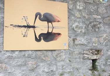
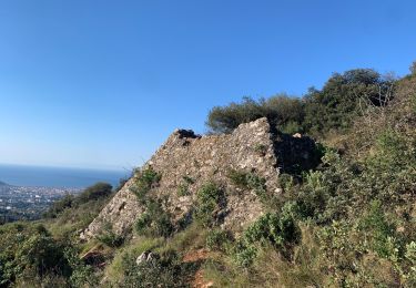
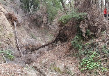
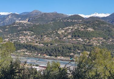
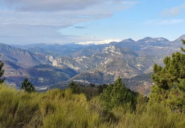
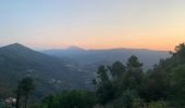
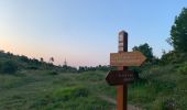
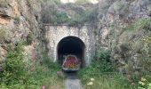
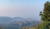
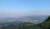
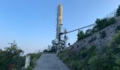
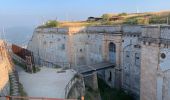
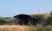
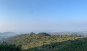
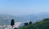
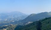
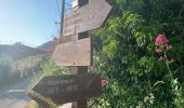
On se gare et on part d'en face la crèche les «poussins câlins ». Le début est pentu pendant 1,5 km. On monte au fort et curieusement au milieu des forêts d'antenne on peut y voir une vierge abriter sous un toit en tôle, on la voit sur une de mes photos. On revient à Aspremont en prenant une DFCI. Petite mais belle randonnée car les points de vue sont magnifiques d'abord sur la ville de Nice puis vers Antibes et enfin la vallée du Var avec les Alpes du sud en fond.
Localisation
Commentaires
Randonnées à proximité
![Randonnée Marche Aspremont - Vallon OBSCUR aux portes de Nice - Photo](https://media.geolcdn.com/t/375/260/16c0b49c-5599-47d7-b53d-8d16968f7369.jpg&format=jpg&maxdim=2)
![Marche Marche](https://static1.geolcdn.com/sitytour/trail-icons/101.png)
Marche
![](/images/other/stat-length.png)
![](https://static1.geolcdn.com/siteimages/upload/files/16400158638029165_repeat_loop_refresh_sync_direction_icon.png)
![Randonnée Course à pied Aspremont - Tour des Monts d'Aspremont 2007 - Photo](https://media.geolcdn.com/t/375/260/ext.jpg?maxdim=2&url=https%3A%2F%2Fstatic1.geolcdn.com%2Fsiteimages%2Fupload%2Ffiles%2F1524743154running.jpg)
![Course à pied Course à pied](https://static1.geolcdn.com/sitytour/trail-icons/103.png)
Course à pied
![](/images/other/stat-length.png)
![](https://static1.geolcdn.com/siteimages/upload/files/16400158638029165_repeat_loop_refresh_sync_direction_icon.png)
![Randonnée Marche Tourrette-Levens - Tour Sud de Tourette Levens - Photo](https://media.geolcdn.com/t/375/260/e02c7a38-2f96-467c-9689-2a7fe0ea0b11.jpg&format=jpg&maxdim=2)
![Marche Marche](https://static1.geolcdn.com/sitytour/trail-icons/101.png)
Marche
![](/images/other/stat-length.png)
![](https://static1.geolcdn.com/siteimages/upload/files/16400158638029165_repeat_loop_refresh_sync_direction_icon.png)
![Randonnée Marche Falicon - Pyramide de Nice Falicon - Photo](https://media.geolcdn.com/t/375/260/415c79b7-5c03-4a3d-bd21-10474bc4f68a.jpg&format=jpg&maxdim=2)
![Marche Marche](https://static1.geolcdn.com/sitytour/trail-icons/101.png)
Marche
![](/images/other/stat-length.png)
![](https://static1.geolcdn.com/siteimages/upload/files/16400158638029165_repeat_loop_refresh_sync_direction_icon.png)
![Randonnée Marche Saint-Blaise - st Blaise - Photo](https://media.geolcdn.com/t/375/260/375b4df8-c870-4d3e-b07c-75a372f1a0f5.jpg&format=jpg&maxdim=2)
![Marche Marche](https://static1.geolcdn.com/sitytour/trail-icons/101.png)
Marche
![](/images/other/stat-length.png)
![](https://static1.geolcdn.com/siteimages/upload/files/16400158638029165_repeat_loop_refresh_sync_direction_icon.png)
![Randonnée Marche Saint-Blaise - St Blaise - Mont Inarte - Mont Cima - Photo](https://media.geolcdn.com/t/375/260/50248ffd-1584-454b-8993-746e69228911.jpg&format=jpg&maxdim=2)
![Marche Marche](https://static1.geolcdn.com/sitytour/trail-icons/101.png)
Marche
![](/images/other/stat-length.png)
![](https://static1.geolcdn.com/siteimages/upload/files/16400158638029165_repeat_loop_refresh_sync_direction_icon.png)
![Randonnée Marche Carros - BALCON CARROS - Photo](https://media.geolcdn.com/t/375/260/efe617f1-3a62-4bc8-a939-65e86c8b3041.jpg&format=jpg&maxdim=2)
![Marche Marche](https://static1.geolcdn.com/sitytour/trail-icons/101.png)
Marche
![](/images/other/stat-length.png)
![](https://static1.geolcdn.com/siteimages/upload/files/16400158638029165_repeat_loop_refresh_sync_direction_icon.png)
![Randonnée Marche Carros - tour des plans - Photo](https://media.geolcdn.com/t/375/260/50da8614-8d07-4bca-b34d-2e340b5e9459.jpg&format=jpg&maxdim=2)
![Marche Marche](https://static1.geolcdn.com/sitytour/trail-icons/101.png)
Marche
![](/images/other/stat-length.png)
![](https://static1.geolcdn.com/siteimages/upload/files/16400158638029165_repeat_loop_refresh_sync_direction_icon.png)
![Randonnée Marche Aspremont - CIMA - Photo](https://media.geolcdn.com/t/375/260/c11f5b66-e8d6-4ef8-9268-8970407285f6.jpg&format=jpg&maxdim=2)
![Marche Marche](https://static1.geolcdn.com/sitytour/trail-icons/101.png)
Marche
![](/images/other/stat-length.png)
![](https://static1.geolcdn.com/siteimages/upload/files/16400158638029165_repeat_loop_refresh_sync_direction_icon.png)
Merci pour le partage de cette belle randonnée.