


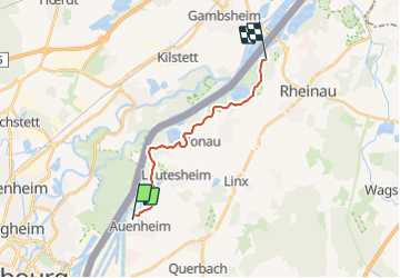

17,4 km | 19,1 km-effort


Utilisateur


Application GPS de randonnée GRATUITE
 SityTrail
IGN / Instituts géographiques
SityTrail World
Le monde est à vous
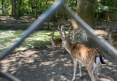
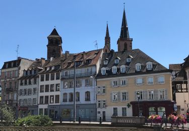
Randonnée Canoë - kayak de 12,8 km à découvrir à Bade-Wurtemberg, Ortenaukreis, Kehl. Cette randonnée est proposée par Cédric Freyermuth.
A pied
A pied

Marche
Marche
Marche
Marche
Marche
Randonnée équestre
Marche