


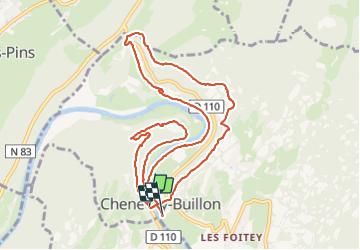

7,2 km | 9,4 km-effort


Utilisateur GUIDE


Application GPS de randonnée GRATUITE
 SityTrail
IGN / Instituts géographiques
SityTrail World
Le monde est à vous
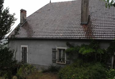
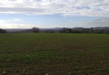
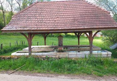
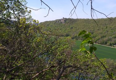
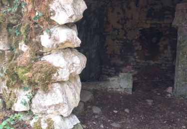
Randonnée Marche de 11,5 km à découvrir à Bourgogne-Franche-Comté, Doubs, Chenecey-Buillon. Cette randonnée est proposée par David25400.

A pied
A pied
A pied
A pied
A pied
Marche
Marche
Marche
Marche