


4,5 km | 6,2 km-effort


Utilisateur GUIDE


Application GPS de randonnée GRATUITE
 SityTrail
IGN / Instituts géographiques
SityTrail World
Le monde est à vous
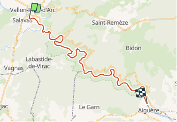
Randonnée Canoë - kayak de 30 km à découvrir à Auvergne-Rhône-Alpes, Ardèche, Salavas. Cette randonnée est proposée par David25400.
Temps donné pour l entièreté de la balade pause comprise (environ 1h30).
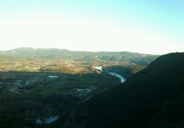
Très beau paysage, de nombreux oiseaux et quelques couleuvres à observer !
Un régal.
Descente faite avec Loulou bateau 👌

Marche

Marche
Marche

Marche

Marche
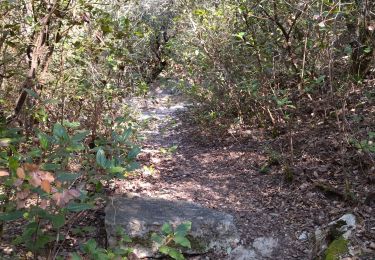
A pied

V.T.T.

Marche

Marche