


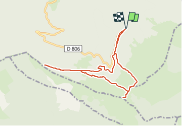


10,3 km | 19,1 km-effort

Utilisateur


Application GPS de randonnée GRATUITE
 SityTrail
IGN / Instituts géographiques
SityTrail World
Le monde est à vous
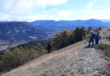
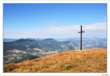
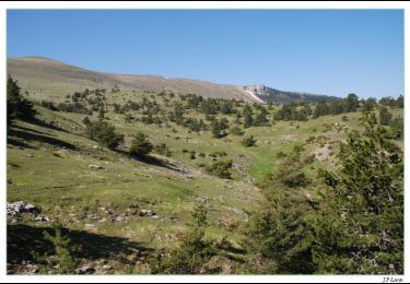
Randonnée Marche de 9,2 km à découvrir à Auvergne-Rhône-Alpes, Drôme, Valdrôme. Cette randonnée est proposée par jean-marie.parachini.
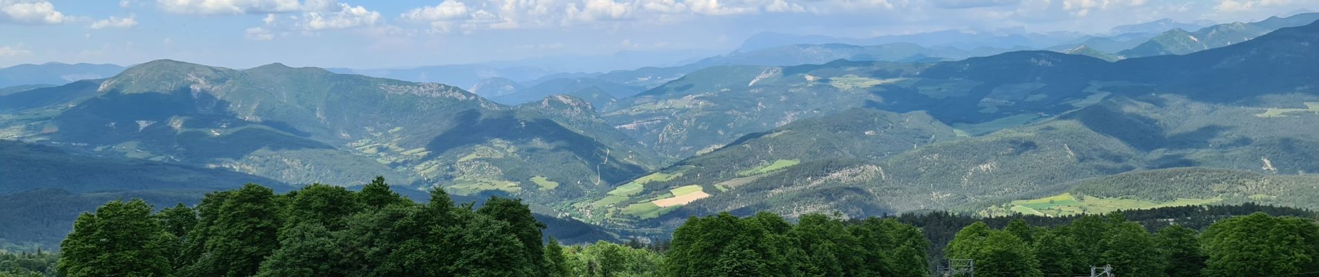
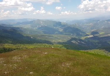
Panorama 360 ° vue sur les Alpes le ventoux


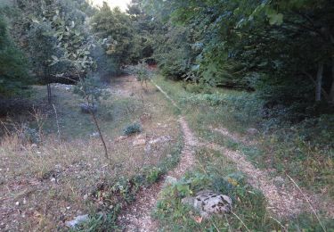
29 photos au total. Cliquez sur une photo pour les afficher toutes dans la galerie.

Marche
V.T.T.

V.T.T.

Marche
Marche
Marche

Marche
Marche
Marche