7,6 km | 11,2 km-effort
30 St Hippolyte du Fort B1
HAL26
Utilisateur
Longueur
15,6 km
Altitude max
506 m
Dénivelé positif
482 m
Km-Effort
22 km
Altitude min
167 m
Dénivelé négatif
483 m
Boucle
Oui
Date de création :
2021-06-10 06:41:04.71
Dernière modification :
2021-06-10 14:13:38.887
4h12
Difficulté : Moyen
Application GPS de randonnée GRATUITE
À propos
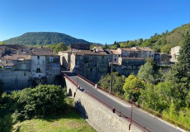
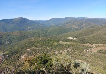
Randonnée Marche de 15,6 km à découvrir à Occitanie, Gard, Saint-Hippolyte-du-Fort. Cette randonnée est proposée par HAL26.
Localisation
Pays :
France
Région :
Occitanie
Département/Province :
Gard
Commune :
Saint-Hippolyte-du-Fort
Localité :
Unknown
Départ:(Dec)
Départ:(UTM)
568180 ; 4869526 (31T) N.
Commentaires
Randonnées à proximité
CAMBO - MONTAGNE DE LA FAGE - 7.6Km - 02h20 - Dénivelé 285 m
Marche
Moyen
(1)
La Cadière-et-Cambo,
Occitanie,
Gard,
France
2h 29min
Oui
St hippolyte Sumène
Vélo de route
Très difficile
Saint-Hippolyte-du-Fort,
Occitanie,
Gard,
France
46 km | 54 km-effort
3h 18min
Oui
30 Roquefourcade 16-03_23
Marche
Très difficile
Saint-Hippolyte-du-Fort,
Occitanie,
Gard,
France
17,1 km | 24 km-effort
6h 37min
Oui
les 2 jumelles près de St hippolythe
Marche
Moyen
Conqueyrac,
Occitanie,
Gard,
France
17,5 km | 25 km-effort
6h 3min
Oui
autour de Monoblet par Gourgas
Marche
Moyen
(2)
Monoblet,
Occitanie,
Gard,
France
12 km | 15,7 km-effort
3h 22min
Oui
Cambo - La Collette
Marche
Difficile
La Cadière-et-Cambo,
Occitanie,
Gard,
France
19,6 km | 29 km-effort
5h 30min
Oui
de la cadiere à Cambo
Marche
Moyen
La Cadière-et-Cambo,
Occitanie,
Gard,
France
22 km | 32 km-effort
5h 54min
Oui
les jumelles de Monobloc la rouquette
Marche
Difficile
Saint-Hippolyte-du-Fort,
Occitanie,
Gard,
France
14,5 km | 21 km-effort
4h 25min
Oui