


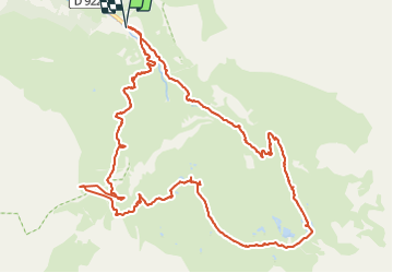

19,8 km | 35 km-effort


Utilisateur


Application GPS de randonnée GRATUITE
 SityTrail
IGN / Instituts géographiques
SityTrail World
Le monde est à vous
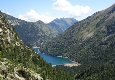
Randonnée Marche de 15 km à découvrir à Occitanie, Hautes-Pyrénées, Gavarnie-Gèdre. Cette randonnée est proposée par pacha56.
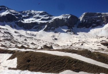
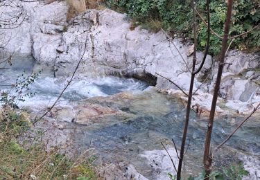
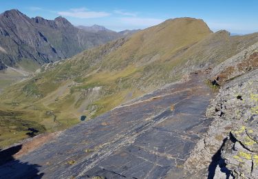
Au départ de la Chapelle de Héas, superbe circuit, dans ce cirque grandiose, passage par la Vierge de Troumouse. Redescente un peu délicate par endroits, petits torrents à franchir.

Marche
Marche

Marche
Marche
Marche
Marche

Marche

Marche
A pied