


22 km | 25 km-effort

Utilisateur GUIDE


Application GPS de randonnée GRATUITE
 SityTrail
IGN / Instituts géographiques
SityTrail World
Le monde est à vous
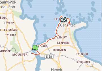
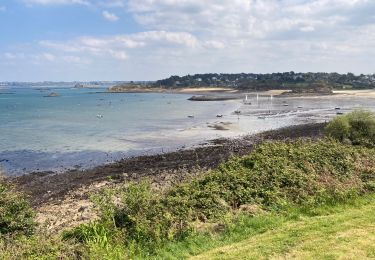
Randonnée Marche de 9 km à découvrir à Bretagne, Finistère, Plouénan. Cette randonnée est proposée par chessyca.
Départ du village de Yourtes de Plouénan
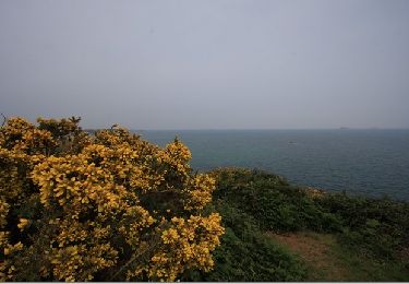
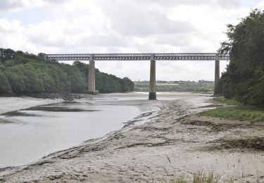
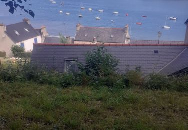
Matinée tranquille pour rejoindre Carantec et prendre le bus en direction de Morlaix


Marche
Autre activité
Marche
Marche
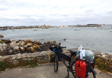
Cyclotourisme
Marche
A pied
Marche