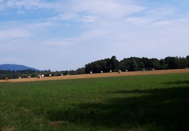
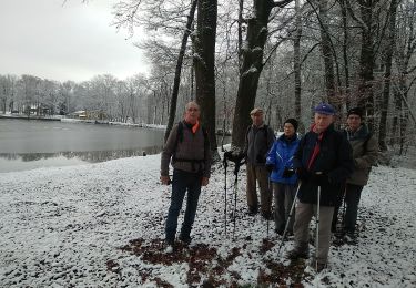
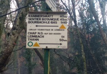
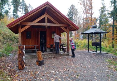
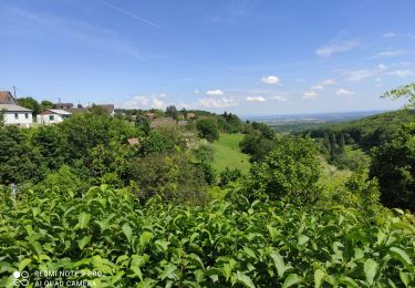
22 km | 27 km-effort
SityTrail - 2320222-Lac de Michelbach-La Doller
ruelwitt
Utilisateur
Longueur
11,4 km
Altitude max
375 m
Dénivelé positif
183 m
Km-Effort
13,9 km
Altitude min
297 m
Dénivelé négatif
184 m
Boucle
Oui
Date de création :
2021-06-01 09:21:19.321
Dernière modification :
2021-06-01 09:24:51.538
3h08
Difficulté : Difficile
Application GPS de randonnée GRATUITE
À propos
Randonnée Marche de 11,4 km à découvrir à Grand Est, Haut-Rhin, Aspach-Michelbach. Cette randonnée est proposée par ruelwitt.
Localisation
Pays :
France
Région :
Grand Est
Département/Province :
Haut-Rhin
Commune :
Aspach-Michelbach
Localité :
Michelbach
Départ:(Dec)
Départ:(UTM)
359785 ; 5291340 (32T) N.
Commentaires
Randonnées à proximité
Rando du 09/02/2024 par Alain...Pont d'Aspach
Marche
Très difficile
Burnhaupt-le-Haut,
Grand Est,
Haut-Rhin,
France
5h 12min
Oui
sentheim saegerkopf
Marche
Facile
(1)
Sentheim,
Grand Est,
Haut-Rhin,
France
11,6 km | 15,1 km-effort
3h 14min
Oui
Circuit de la Doller
Marche
Moyen
Guewenheim,
Grand Est,
Haut-Rhin,
France
10,7 km | 12,2 km-effort
2h 24min
Oui
Lac de la Seigneurie (10/01/2019)
Marche
Facile
Le Haut-Soultzbach,
Grand Est,
Haut-Rhin,
France
16,3 km | 19,5 km-effort
4h 24min
Oui
Aspach le Haut (6/12/2018)
Marche
Moyen
Aspach-Michelbach,
Grand Est,
Haut-Rhin,
France
15 km | 19,4 km-effort
3h 34min
Oui
Guewenheim. 68
Marche
Très facile
Guewenheim,
Grand Est,
Haut-Rhin,
France
13,1 km | 15 km-effort
3h 14min
Non
Hundsrück (04/11/2021)
Marche
Moyen
Rammersmatt,
Grand Est,
Haut-Rhin,
France
10,8 km | 17,8 km-effort
3h 14min
Oui
Grand ballon 2021
Vélo électrique
Thann,
Grand Est,
Haut-Rhin,
France
48 km | 67 km-effort
3h 31min
Non