


7 km | 8,7 km-effort


Utilisateur


Application GPS de randonnée GRATUITE
 SityTrail
IGN / Instituts géographiques
SityTrail World
Le monde est à vous
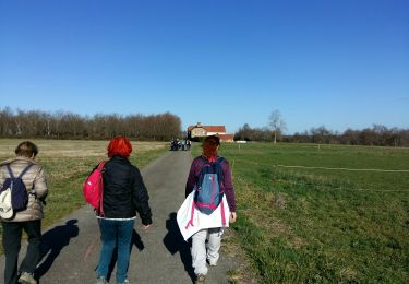
Randonnée Marche de 8,6 km à découvrir à Nouvelle-Aquitaine, Pyrénées-Atlantiques, Montaner. Cette randonnée est proposée par mitch1952.
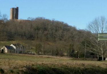
Rando à faire de préférence en été par forte chaleur pour son parcours essentiellement en forêt. A voir l'Oppidum, la table d'orientation et l'église.
A pied
Marche
Marche
Marche

V.T.T.

Marche
A pied

A pied
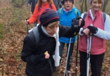
Marche nordique