


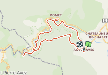


13 km | 22 km-effort

Utilisateur GUIDE


Application GPS de randonnée GRATUITE
 SityTrail
IGN / Instituts géographiques
SityTrail World
Le monde est à vous
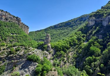
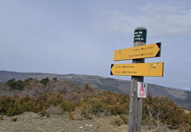
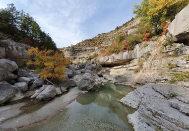
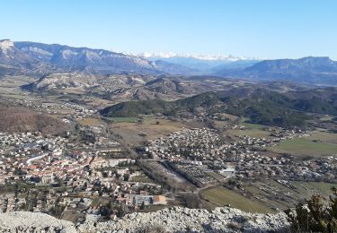
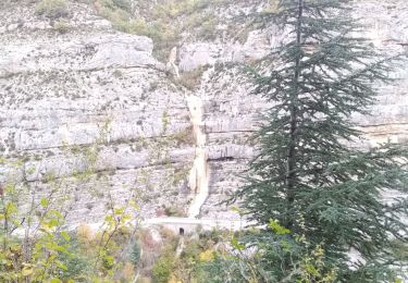
Randonnée Marche de 11 km à découvrir à Provence-Alpes-Côte d'Azur, Hautes-Alpes, Val-Buëch-Méouge. Cette randonnée est proposée par RobinMicheline.
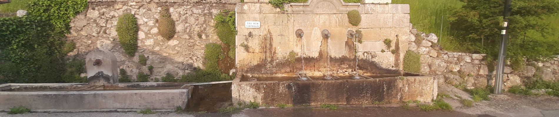
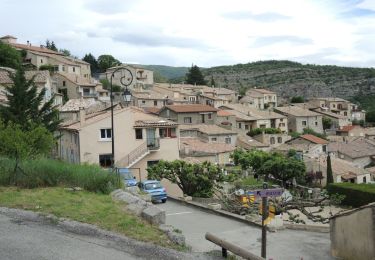
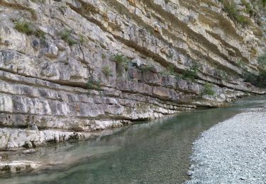
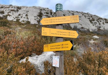
Rando sympa , sentier au dessus des gorges , retour par bois de chenes ombrager , facile , agreable


Marche
Marche
Marche
Marche
Marche

Marche
Marche
Marche
Marche