


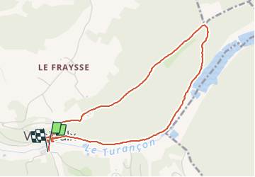

12,3 km | 17 km-effort


Utilisateur


Application GPS de randonnée GRATUITE
 SityTrail
IGN / Instituts géographiques
SityTrail World
Le monde est à vous
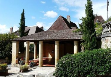
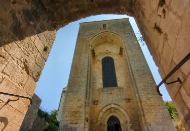
Randonnée Marche de 4,9 km à découvrir à Nouvelle-Aquitaine, Dordogne, Valojoulx. Cette randonnée est proposée par fab0202.
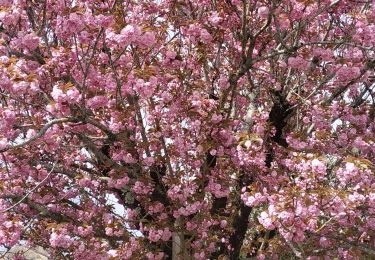
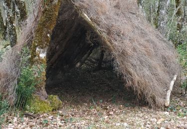
belle rando avec découverte d un beau village et ses moulins. La rando longe le ruisseau avec ses moulins puis ses étangs
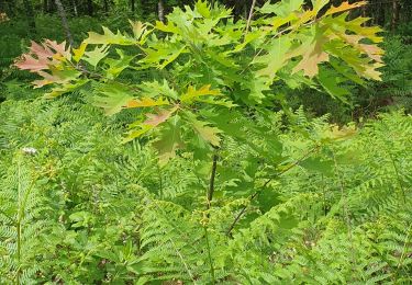
Ensuite passage en forêt avec une belle montée.
Marche
Marche

Marche
V.T.T.
V.T.T.
Marche

V.T.T.
Marche
Marche