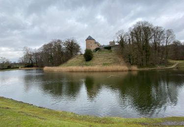
37 km | 47 km-effort
f-belgie-waals-en-vlaams-pajottenland
gpstracks
Utilisateur
Longueur
62 km
Altitude max
85 m
Dénivelé positif
590 m
Km-Effort
70 km
Altitude min
23 m
Dénivelé négatif
589 m
Boucle
Oui
Date de création :
2014-12-10 00:00:00.0
Dernière modification :
2014-12-10 00:00:00.0
--
Difficulté : Inconnu
Application GPS de randonnée GRATUITE
À propos
Randonnée Vélo de 62 km à découvrir à Flandre, Brabant flamand, Leeuw-Saint-Pierre. Cette randonnée est proposée par gpstracks.
Description
More information on GPStracks.nl : http://www.gpstracks.nl
Localisation
Pays :
Belgique
Région :
Flandre
Département/Province :
Brabant flamand
Commune :
Leeuw-Saint-Pierre
Localité :
Sint-Pieters-Leeuw
Départ:(Dec)
Départ:(UTM)
587698 ; 5626036 (31U) N.
Commentaires
Randonnées à proximité
RL-GG-24_Beersel_Hennuyères
Marche
Moyen
(2)
Beersel,
Flandre,
Brabant flamand,
Belgique
10h 44min
Non
gaasbeek (départ du parking du château)
Marche
Moyen
(1)
Lennik,
Flandre,
Brabant flamand,
Belgique
7,2 km | 8,6 km-effort
1h 57min
Non
Beersel 10km
Marche
Moyen
(2)
Beersel,
Flandre,
Brabant flamand,
Belgique
10,5 km | 13,1 km-effort
2h 34min
Oui
2019-01-10 Boucle Huizingen 22 km
Marche
Très facile
(1)
Beersel,
Flandre,
Brabant flamand,
Belgique
22 km | 27 km-effort
4h 38min
Oui
Entre Beersel et Dworp
Marche
Moyen
(1)
Beersel,
Flandre,
Brabant flamand,
Belgique
10,1 km | 13 km-effort
2h 45min
Oui
RB-Br-06-Rac02
Marche
Très facile
(2)
Anderlecht,
Bruxelles-Capitale,
Inconnu,
Belgique
8,4 km | 9,2 km-effort
2h 5min
Non
Autour de Gaasbeek
Marche
Facile
(1)
Lennik,
Flandre,
Brabant flamand,
Belgique
9,1 km | 10,9 km-effort
2h 10min
Oui
O2bikers_47_Beersel
V.T.T.
Très facile
(3)
Beersel,
Flandre,
Brabant flamand,
Belgique
17,2 km | 22 km-effort
2h 45min
Oui
Drogenbos Beersel 8,4 km
Marche
Moyen
(1)
Drogenbos,
Flandre,
Brabant flamand,
Belgique
8,3 km | 9,7 km-effort
2h 22min
Oui