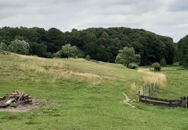
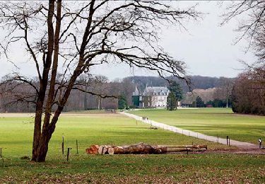
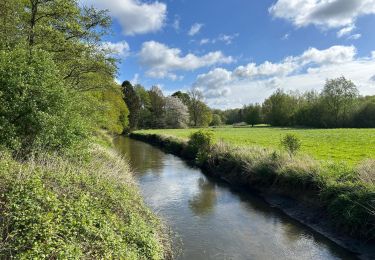
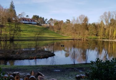
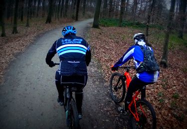
Randonnée Vélo Overijse - f-belgie-gordel-2010-korte-druivenroute - Photo

f-belgie-gordel-2010-korte-druivenroute

 gpstracks
gpstracks

Utilisateur

© OpenStreetMap contributors
Longueur
Longueur
23 km
Altitude max
Altitude max
98 m
Dénivelé positif
Dénivelé positif
180 m
Km-Effort
Km-Effort  
25 km
Altitude min
Altitude min
29 m
Dénivelé négatif
Dénivelé négatif
179 m
Boucle
Boucle
Oui
Date de création :
2014-12-10 00:00:00.0
Dernière modification :
2014-12-10 00:00:00.0

(0 Avis)

Vélo
Vélo
--
Difficulté : Inconnu

Scannez ce code QR pour ouvrir la randonnée dans l'application SityTrail

Application GPS de randonnée GRATUITE

Logo SityTrail SityTrail

IGN / Instituts géographiques

Télécharger SityTrail sur l'App Store Télécharger SityTrail sur Google Play

Logo SityTrail SityTrail World

Le monde est à vous

Télécharger SityTrail sur l'App Store Télécharger SityTrail sur Google Play Télécharger SityTrail sur Huawei AppGallery

À propos

Randonnée Vélo de 23 km à découvrir à Flandre, Brabant flamand, Overijse. Cette randonnée est proposée par gpstracks.

Description

More information on GPStracks.nl : http://www.gpstracks.nl

Profil altimétrique

Points d'intérêt

Point d'intérêt Overijse - START - Photo
gpstracks
OVERIJSE 

Localisation

Pays :
Belgique
Région :
Flandre
Département/Province :
Brabant flamand
Commune :
Overijse
Localité :
Overijse
Départ:(Dec)
Départ:(UTM)
608333 ; 5625421 (31U) N.

Randonnées à proximité

Randonnée Marche Hoeilaert - RL-GG-04_Hoielart_Genval - Photo
Marche
PRO

Marche

Très difficile
(6)
Hoeilaert, Flandre, Brabant flamand, Belgique
23 km | 28 km-effort
5h 54min
Non
Randonnée Marche La Hulpe - RB-Bw-12_La-Hulpe_via-racc-1-et-2 - Photo
Marche
PRO

Marche

Difficile
(15)
La Hulpe, Wallonie, Brabant wallon, Belgique
14,3 km | 17,7 km-effort
4h 1min
Oui
Randonnée Marche Overijse - #230220 - Terlanen, Schaatbroekbos, GR579**** - Photo
Marche
Randos Ouvertes

Marche

Moyen
(2)
Overijse, Flandre, Brabant flamand, Belgique
7,2 km | 8,4 km-effort
1h 55min
Oui
Randonnée Marche La Hulpe - Genval 0222 - Photo
Marche
calofrancis

Marche

Moyen
(1)
La Hulpe, Wallonie, Brabant wallon, Belgique
10,3 km | 12,1 km-effort
2h 21min
Oui
Randonnée V.T.T. La Hulpe - VTT 42 km la hulpe - Photo
V.T.T.
GUIDE
pascalou73

V.T.T.

Moyen
(1)
La Hulpe, Wallonie, Brabant wallon, Belgique
40 km | 48 km-effort
2h 20min
Oui
Randonnée Marche La Hulpe - château de la  hulpe  - Photo
Marche
GUIDE
pascalou73

Marche

Très facile
(2)
La Hulpe, Wallonie, Brabant wallon, Belgique
10,8 km | 13,2 km-effort
3h 27min
Oui
Randonnée Marche Huldenberg - Terlanen - Up and Down - Photo
Marche
GaetanHouart

Marche

Moyen
(2)
Huldenberg, Flandre, Brabant flamand, Belgique
8,4 km | 10,7 km-effort
2h 25min
Oui
Randonnée Marche Tervueren - Arboretum - Kapucijnenbos - Photo
Marche
GaetanHouart

Marche

Difficile
(1)
Tervueren, Flandre, Brabant flamand, Belgique
13,7 km | 16,3 km-effort
3h 41min
Oui
Randonnée Marche Tervueren - arboretum - Photo
Marche
jpbille

Marche

Très facile
(1)
Tervueren, Flandre, Brabant flamand, Belgique
8 km | 9,2 km-effort
2h 51min
Oui


Fermer
Mes abonnements