


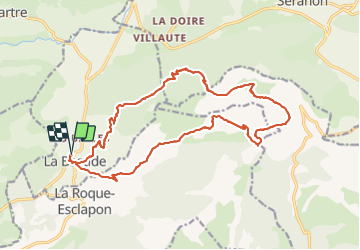


11,7 km | 19,4 km-effort

Utilisateur


Application GPS de randonnée GRATUITE
 SityTrail
IGN / Instituts géographiques
SityTrail World
Le monde est à vous
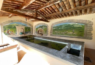
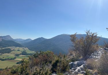
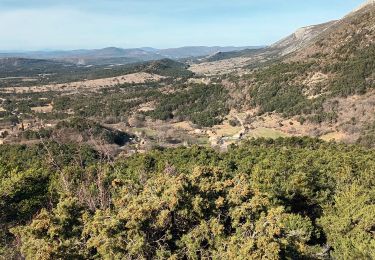
Randonnée Marche de 22 km à découvrir à Provence-Alpes-Côte d'Azur, Var, La Bastide. Cette randonnée est proposée par ETMU5496.
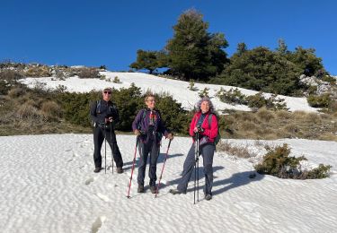
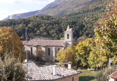
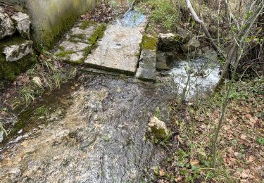
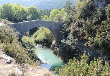
Jolie randonnée champêtre et bucolique avec du dénivelé mais sans difficulté particulière


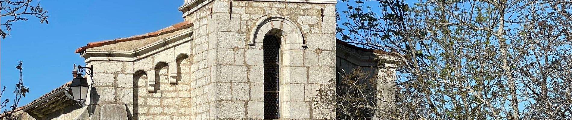
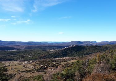
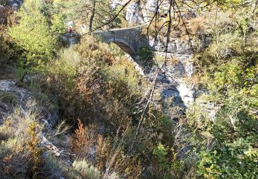
32 photos au total. Cliquez sur une photo pour les afficher toutes dans la galerie.
Marche
Marche
Marche
Marche
Marche
Marche
Marche

sport
Marche