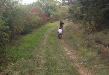
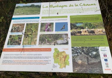
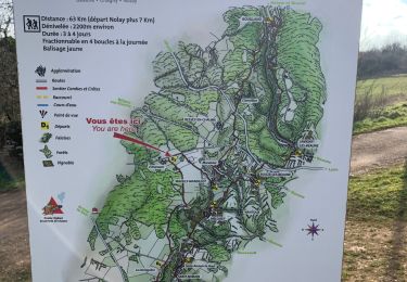
14,6 km | 18,5 km-effort
Meloisey 24 mai 2021y
jpdroux
Utilisateur
Longueur
6,9 km
Altitude max
462 m
Dénivelé positif
167 m
Km-Effort
9,1 km
Altitude min
374 m
Dénivelé négatif
167 m
Boucle
Oui
Date de création :
2021-05-24 14:24:00.0
Dernière modification :
2021-05-24 16:02:40.924
1h39
Difficulté : Inconnu
Application GPS de randonnée GRATUITE
À propos
Randonnée Marche de 6,9 km à découvrir à Bourgogne-Franche-Comté, Côte-d'Or, Meloisey. Cette randonnée est proposée par jpdroux.
Localisation
Pays :
France
Région :
Bourgogne-Franche-Comté
Département/Province :
Côte-d'Or
Commune :
Meloisey
Localité :
Unknown
Départ:(Dec)
Départ:(UTM)
631339 ; 5210163 (31T) N.
Commentaires
Randonnées à proximité
Sentier des Biques
A pied
Facile
Bouze-lès-Beaune,
Bourgogne-Franche-Comté,
Côte-d'Or,
France
4h 12min
Oui
Nantoux la montagne de la chaume page 30
Marche
Très difficile
(3)
Nantoux,
Bourgogne-Franche-Comté,
Côte-d'Or,
France
17,7 km | 24 km-effort
5h 25min
Oui
Sentier des roches
Marche
Difficile
(1)
Baubigny,
Bourgogne-Franche-Comté,
Côte-d'Or,
France
15,2 km | 22 km-effort
4h 41min
Oui
Bouze les Beaune Le sentier des Biques page 124
Marche
Très difficile
(1)
Bouze-lès-Beaune,
Bourgogne-Franche-Comté,
Côte-d'Or,
France
17,4 km | 23 km-effort
5h 8min
Oui
U 2020 23 & 25/02 Monthelie
Marche
Moyen
(2)
Meursault,
Bourgogne-Franche-Comté,
Côte-d'Or,
France
12,5 km | 16,1 km-effort
3h 16min
Oui
De Monthelie à Pommard
Marche
Facile
Monthelie,
Bourgogne-Franche-Comté,
Côte-d'Or,
France
11,2 km | 14 km-effort
4h 14min
Oui
petite balade très facile sur les hauteur de Nantoux
Marche
Très facile
(1)
Nantoux,
Bourgogne-Franche-Comté,
Côte-d'Or,
France
3,9 km | 5,3 km-effort
1h 37min
Oui
Pommard le 16-12-2024
Marche
Difficile
Pommard,
Bourgogne-Franche-Comté,
Côte-d'Or,
France
11,8 km | 15,7 km-effort
2h 39min
Oui
Meloisey 05-03-2023
Marche
Difficile
Meloisey,
Bourgogne-Franche-Comté,
Côte-d'Or,
France
12 km | 14,4 km-effort
2h 29min
Oui