


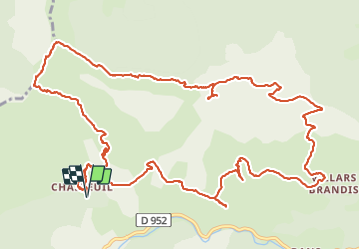


9,3 km | 18,6 km-effort

Utilisateur


Application GPS de randonnée GRATUITE
 SityTrail
IGN / Instituts géographiques
SityTrail World
Le monde est à vous
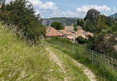
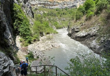
Randonnée Marche de 18,5 km à découvrir à Provence-Alpes-Côte d'Azur, Alpes-de-Haute-Provence, Castellane. Cette randonnée est proposée par ETMU5496.
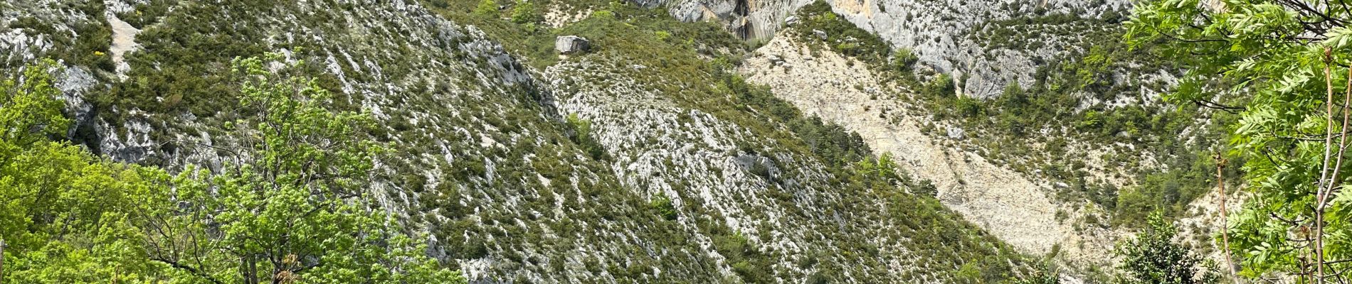
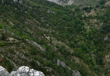
Randonnée avec de superbes points de vue et les Cadières sont magnifiques. Prévoir d'y pique-niquer.
Attention toutefois car dans ce sens, la descente du Pré Chauvin et technique.


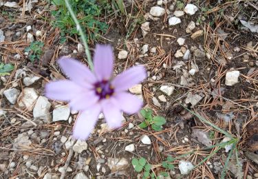
52 photos au total. Cliquez sur une photo pour les afficher toutes dans la galerie.

Marche

Marche

Marche

Marche

Marche
Marche
Marche
Marche
Marche