![](/images/other/stat-length.png)
en forêt de Laigue_13_05_2021_le Mont des Châtillons
en forêt de Laigue
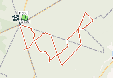
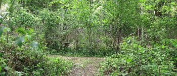
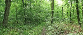
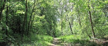
vive la rando en forêt
![Longueur](/images/other/stat-length.png)
![Altitude max](https://static1.geolcdn.com/siteimages/upload/files/1508320355ic_sort_altitude_max_24dp.png)
![Dénivelé positif](https://static1.geolcdn.com/siteimages/upload/files/1508320355ic_sort_den_pos_24dp.png)
![Km-Effort](/images/other/stat-length.png)
![Altitude min](https://static1.geolcdn.com/siteimages/upload/files/1508320355ic_sort_altitude_min_24dp.png)
![Dénivelé négatif](https://static1.geolcdn.com/siteimages/upload/files/1508320355ic_sort_den_neg_24dp.png)
![Boucle](https://static1.geolcdn.com/siteimages/upload/files/16400158638029165_repeat_loop_refresh_sync_direction_icon.png)
![Marche](https://static1.geolcdn.com/sitytour/trail-icons/101.png)
3h21
Difficulté : Difficile
![Scannez ce code QR pour ouvrir la randonnée dans l'application SityTrail](https://capi.geolives.com/qq0zvz2zws4bq2lad0pu/sitytour/trails/2797844/qr.png?size=200)
Application GPS de randonnée GRATUITE
À propos
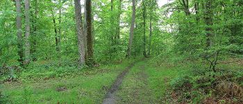
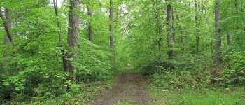
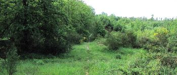
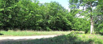
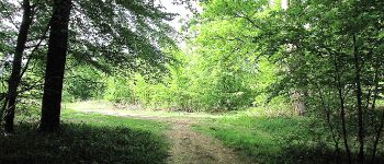
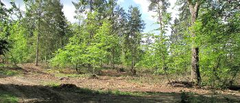
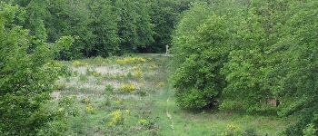
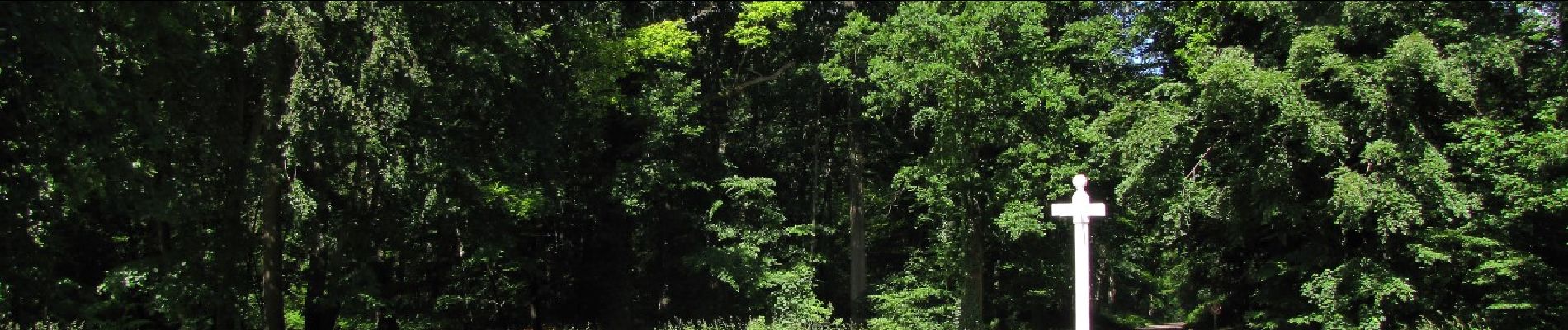
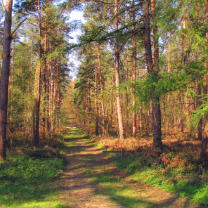
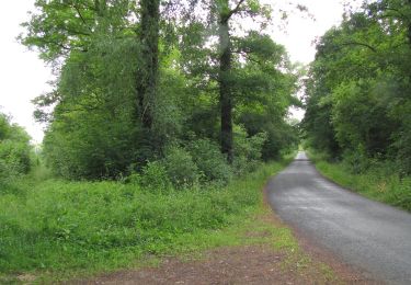
Randonnée Marche de 12,2 km à découvrir à Hauts-de-France, Oise, Saint-Crépin-aux-Bois. Cette randonnée est proposée par en forêt de Laigue.
Description
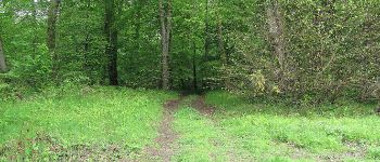
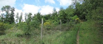
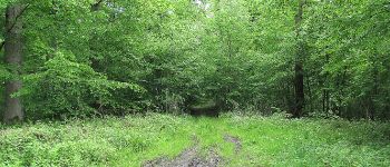
objectifs de cette rando atteints: tourner autour du Mont des Châtillons avec les Petites Têtes des Châtillons pour recueillir plus d'infos (sentiers très très peu fréquentés pour certains).
rando classée difficile à cause de certains raidillons sur les Monts des Châtillons.
batterie de recharge pour iphone indispensable.
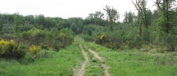
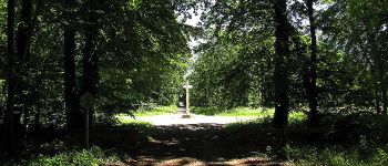
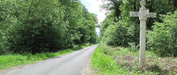
Au départ du carrefour du Puits d'Orléans, prendre un peu la Route Forestière de Sainte-Croix, tourner autours des Petites Têtes de Châtillons et rejoindre le carrefour du Double. Aller au carrefour de l'Echo en continuant de tourner autour du Mont des Châtillons. Passer au carrefour Sainte-Croix puis au carrefour de Diane et au carrefour des Princesses. Tourner autour des Petites Têtes des Châtillons en allant au carrefour du Pont l'Echo. Revenir au point de départ en suivant la Route de la Belle Assise.
voir aussi: //foret-de-laigue.over-blog.com/
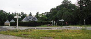
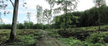
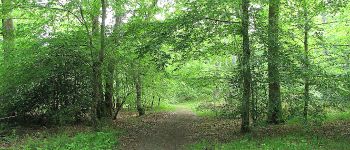
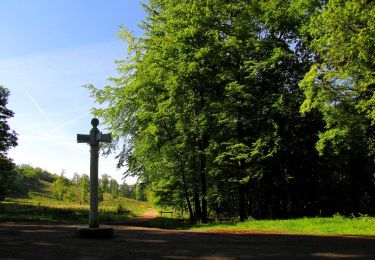
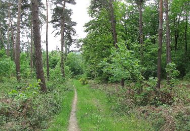
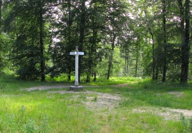
Points d'intérêt
Localisation
Commentaires
Randonnées à proximité
![Marche Marche](https://static1.geolcdn.com/sitytour/trail-icons/101.png)
Marche
![](/images/other/stat-length.png)
![](https://static1.geolcdn.com/siteimages/upload/files/16400158638029165_repeat_loop_refresh_sync_direction_icon.png)
![Marche Marche](https://static1.geolcdn.com/sitytour/trail-icons/101.png)
Marche
![](/images/other/stat-length.png)
![](https://static1.geolcdn.com/siteimages/upload/files/16400158638029165_repeat_loop_refresh_sync_direction_icon.png)
![Randonnée Marche Choisy-au-Bac - Choisy au Bac - Photo](https://media.geolcdn.com/t/375/260/5babfbf2-74be-4aa2-8a85-5aa5f3b07088.jpg&format=jpg&maxdim=2)
![Marche Marche](https://static1.geolcdn.com/sitytour/trail-icons/101.png)
Marche
![](/images/other/stat-length.png)
![](https://static1.geolcdn.com/siteimages/upload/files/16400158638029165_repeat_loop_refresh_sync_direction_icon.png)
![Randonnée Marche Compiègne - Compiegne rond point de l’Armistice 13,4 km - Photo](https://media.geolcdn.com/t/375/260/329c33a1-5259-47b3-b855-7d5e0d5065b3.jpg&format=jpg&maxdim=2)
![Marche Marche](https://static1.geolcdn.com/sitytour/trail-icons/101.png)
Marche
![](/images/other/stat-length.png)
![](https://static1.geolcdn.com/siteimages/upload/files/16400158638029165_repeat_loop_refresh_sync_direction_icon.png)
![Randonnée Marche Rethondes - en forêt de Laigue_15_07_2021_autour du Mont du Fouilleux et du Mont des Singes - Photo](https://media.geolcdn.com/t/375/260/ae49f85a-387f-48a8-bf93-e96ca1fcfc19.jpg&format=jpg&maxdim=2)
![Marche Marche](https://static1.geolcdn.com/sitytour/trail-icons/101.png)
Marche
![](/images/other/stat-length.png)
![](https://static1.geolcdn.com/siteimages/upload/files/16400158638029165_repeat_loop_refresh_sync_direction_icon.png)
![Marche Marche](https://static1.geolcdn.com/sitytour/trail-icons/101.png)
Marche
![](/images/other/stat-length.png)
![](https://static1.geolcdn.com/siteimages/upload/files/16400158638029165_repeat_loop_refresh_sync_direction_icon.png)
![Marche Marche](https://static1.geolcdn.com/sitytour/trail-icons/101.png)
Marche
![](/images/other/stat-length.png)
![](https://static1.geolcdn.com/siteimages/upload/files/16400158638029165_repeat_loop_refresh_sync_direction_icon.png)
![Marche Marche](https://static1.geolcdn.com/sitytour/trail-icons/101.png)
Marche
![](/images/other/stat-length.png)
![](https://static1.geolcdn.com/siteimages/upload/files/16400158638029165_repeat_loop_refresh_sync_direction_icon.png)
![Marche Marche](https://static1.geolcdn.com/sitytour/trail-icons/101.png)
Marche
![](/images/other/stat-length.png)
![](https://static1.geolcdn.com/siteimages/upload/files/16400158638029165_repeat_loop_refresh_sync_direction_icon.png)