


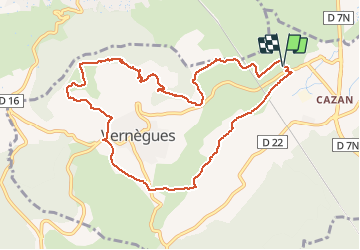

7,1 km | 9 km-effort

Utilisateur


Application GPS de randonnée GRATUITE
 SityTrail
IGN / Instituts géographiques
SityTrail World
Le monde est à vous
Randonnée Marche de 10,8 km à découvrir à Provence-Alpes-Côte d'Azur, Bouches-du-Rhône, Vernègues. Cette randonnée est proposée par ALAPETITE.
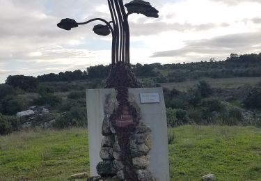
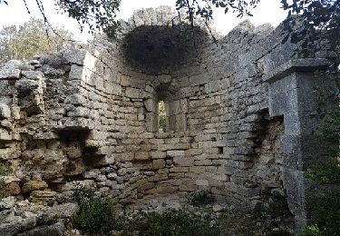
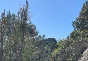
Saint Symphorien, borne milliaire, borie municipale, bassin renversé, point de vue sur le Nord, table orientation, constance, chemin Saint Anne, descente vers Pavillon Victoire, chemin de Vinsargues, Saint Symphorien.


Marche
Marche
Marche
Marche

Autre activité

Marche

V.T.T.
Marche
Marche