


3,5 km | 4,7 km-effort


Utilisateur


Application GPS de randonnée GRATUITE
 SityTrail
IGN / Instituts géographiques
SityTrail World
Le monde est à vous
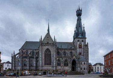
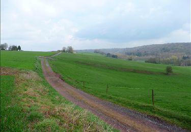
Randonnée Marche de 18,1 km à découvrir à Wallonie, Namur, Walcourt. Cette randonnée est proposée par jeangulu.
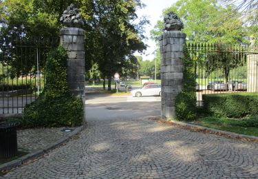
Point de départ: Parking Rue des Marronniers à proximité de l'ancienne maison communale.
Coordonnées : Latitude :50°17'1.5" N
Longitude : 4°25'52.823"

Marche
Marche

Marche
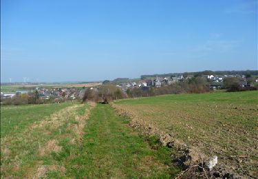
Marche
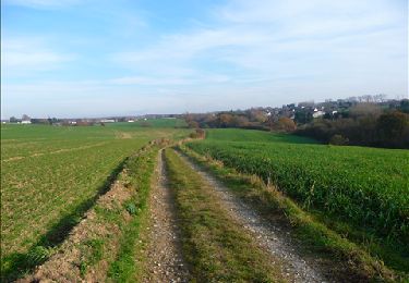
Marche
Marche
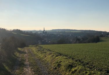
Marche
Marche
A pied