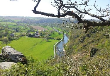
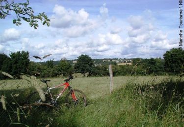
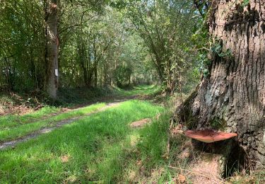
10,9 km | 13,4 km-effort
Moyon
Didier Lemariey
Utilisateur
Longueur
31 km
Altitude max
173 m
Dénivelé positif
508 m
Km-Effort
38 km
Altitude min
38 m
Dénivelé négatif
460 m
Boucle
Non
Date de création :
2021-05-16 07:47:12.0
Dernière modification :
2021-05-16 10:25:57.673
2h38
Difficulté : Difficile
Application GPS de randonnée GRATUITE
À propos
Randonnée V.T.T. de 31 km à découvrir à Normandie, Manche, Tessy-Bocage. Cette randonnée est proposée par Didier Lemariey.
Localisation
Pays :
France
Région :
Normandie
Département/Province :
Manche
Commune :
Tessy-Bocage
Localité :
Fervaches
Départ:(Dec)
Départ:(UTM)
641786 ; 5429785 (30U) N.
Commentaires
Randonnées à proximité
Roches de ham
Marche
Facile
(1)
Condé-sur-Vire,
Normandie,
Manche,
France
11,1 km | 13,5 km-effort
2h 58min
Oui
Au coeur de la vallée de la Vire
V.T.T.
Difficile
(2)
Domjean,
Normandie,
Manche,
France
32 km | 39 km-effort
4h 0min
Oui
CondéSurVire
sport
Très facile
(1)
Condé-sur-Vire,
Normandie,
Manche,
France
19,7 km | 23 km-effort
Inconnu
Oui
Rando gorge de la Vire
Marche
Facile
Domjean,
Normandie,
Manche,
France
35 km | 42 km-effort
10h 25min
Oui
Tessy-sur-Vire - C 13-V
Marche
Facile
Tessy-Bocage,
Normandie,
Manche,
France
3,4 km | 4,1 km-effort
1h 0min
Oui
Tessy-sur-Vire - C 13-II
V.T.T.
Facile
Tessy-Bocage,
Normandie,
Manche,
France
8,8 km | 10,5 km-effort
1h 0min
Oui
Tessy-sur-Vire - C 13-II
Marche
Moyen
Tessy-Bocage,
Normandie,
Manche,
France
8,8 km | 10,5 km-effort
2h 15min
Oui
Tessy-sur-Vire - C 13-I
Marche
Facile
Tessy-Bocage,
Normandie,
Manche,
France
3,6 km | 4,7 km-effort
1h 0min
Oui