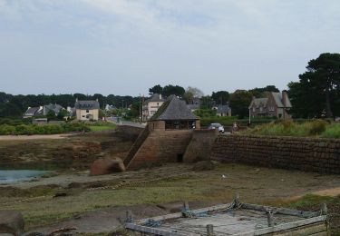
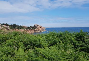
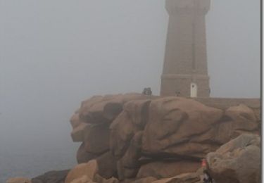
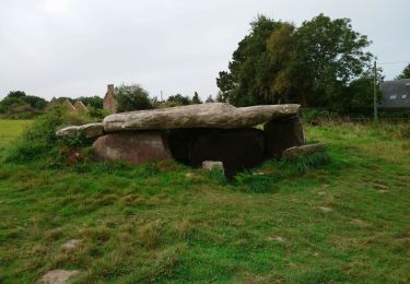
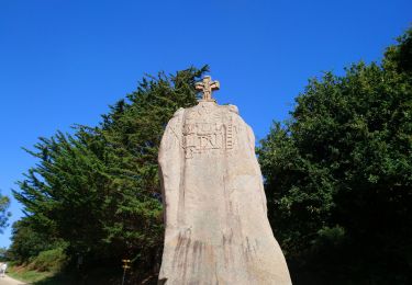
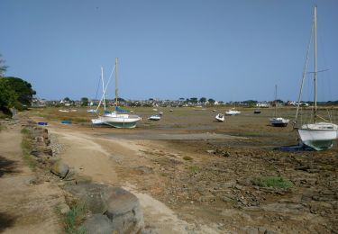
Randonnée Marche Trégastel - w-frankrijk-de-vallei-van-de-traouiero - Photo

w-frankrijk-de-vallei-van-de-traouiero

 gpstracks
gpstracks

Utilisateur

© OpenStreetMap contributors
Longueur
Longueur
7,7 km
Altitude max
Altitude max
67 m
Dénivelé positif
Dénivelé positif
93 m
Km-Effort
Km-Effort  
9 km
Altitude min
Altitude min
7 m
Dénivelé négatif
Dénivelé négatif
91 m
Boucle
Boucle
Oui
Date de création :
2014-12-10 00:00:00.0
Dernière modification :
2014-12-10 00:00:00.0

(1 Avis)

Marche
Marche
--
Difficulté : Inconnu

Scannez ce code QR pour ouvrir la randonnée dans l'application SityTrail

Application GPS de randonnée GRATUITE

Logo SityTrail SityTrail

IGN / Instituts géographiques

Télécharger SityTrail sur l'App Store Télécharger SityTrail sur Google Play

Logo SityTrail SityTrail World

Le monde est à vous

Télécharger SityTrail sur l'App Store Télécharger SityTrail sur Google Play Télécharger SityTrail sur Huawei AppGallery

À propos

Randonnée Marche de 7,7 km à découvrir à Bretagne, Côtes-d'Armor, Trégastel. Cette randonnée est proposée par gpstracks.

Description

More information on GPStracks.nl : http://www.gpstracks.nl

Profil altimétrique

Points d'intérêt

Point d'intérêt Trégastel - Bar - Photo
gpstracks
TRÉGASTEL 
Point d'intérêt Trégastel - Calvaire - Photo
gpstracks
TRÉGASTEL 
Point d'intérêt Trégastel - Église de Trégastel - Photo
gpstracks
Point d'intérêt Trégastel - Kerkhof - Photo
gpstracks
TRÉGASTEL 
Point d'intérêt Trégastel - START - Photo
gpstracks
TRÉGASTEL 
Point d'intérêt Trégastel - Start Valleideel - Photo
gpstracks
TRÉGASTEL 

Localisation

Pays :
France
Région :
Bretagne
Département/Province :
Côtes-d'Armor
Commune :
Trégastel
Localité :
Unknown
Départ:(Dec)
Départ:(UTM)
463382 ; 5406493 (30U) N.

Commentaires

Veuillez vous connecter pour laisser un commentaire ou une note


Randonnées à proximité

Randonnée Marche Perros-Guirec - Perros-Guirec - GR34 - 11.1km 185m 2h50 - 2023 09 08 - Photo
Marche
GUIDE
Orcal37

Marche

Moyen
(1)
Perros-Guirec, Bretagne, Côtes-d'Armor, France
11,1 km | 13,6 km-effort
2h 50min
Oui
Randonnée Marche Trégastel - Trégastel - GR34 Île Renote Moulin à marée Chapelle de Gorgon - 13.8km 100m 3h35 - 2023 09 07 - Photo
Marche
GUIDE
Orcal37

Marche

Difficile
(2)
Trégastel, Bretagne, Côtes-d'Armor, France
13,8 km | 15,1 km-effort
3h 35min
Oui
Randonnée Marche Perros-Guirec - la côte de granit rose à Ploumanach - Photo
Marche
GUIDE
amiral13

Marche

Très facile
(2)
Perros-Guirec, Bretagne, Côtes-d'Armor, France
6 km | 6,9 km-effort
2h 38min
Oui
Randonnée Marche Perros-Guirec - Les sentiers de Ploumanac'h - Photo
Marche
tracegps

Marche

Moyen
(2)
Perros-Guirec, Bretagne, Côtes-d'Armor, France
10,3 km | 12 km-effort
3h 0min
Oui
Randonnée Marche Trégastel - Trégastel - GR34 Ploumanac'h Kasino de Perros-Guirec - 11.7km 200m 2h55 (50mn) - 2023 09 08 - Photo
Marche
GUIDE
Orcal37

Marche

Moyen
Trégastel, Bretagne, Côtes-d'Armor, France
11,7 km | 14,4 km-effort
2h 55min
Oui
Randonnée Marche Pleumeur-Bodou - Pleumeur-Bodou - GR34 Presqu'île de Landrellec - 11km 90m 2h40 (55mn) - 2023 09 07 - Photo
Marche
GUIDE
Orcal37

Marche

Moyen
Pleumeur-Bodou, Bretagne, Côtes-d'Armor, France
11 km | 12,2 km-effort
2h 40min
Oui
Randonnée Marche Pleumeur-Bodou - Pleumeur-Bodou - GR34 Chapelle Saint-Samson - 7.7km 60m 1h55 - 2023 09 06 - Photo
Marche
GUIDE
Orcal37

Marche

Moyen
Pleumeur-Bodou, Bretagne, Côtes-d'Armor, France
7,7 km | 8,5 km-effort
1h 55min
Oui
Randonnée Marche Pleumeur-Bodou - Pleumeur-Bodou - GR34 Menhir de Saint-Uzec Chapelle de Penvern - 5.6km 60m 1h20 (40mn) - 2023 09 06 - Photo
Marche
GUIDE
Orcal37

Marche

Facile
Pleumeur-Bodou, Bretagne, Côtes-d'Armor, France
5,6 km | 6,4 km-effort
1h 20min
Oui
Randonnée Marche Trébeurden - Trébeurden - Penvern GR34 Île Grande - 11.3km 60m 2h50 - 2023 09 05 - Photo
Marche
GUIDE
Orcal37

Marche

Moyen
Trébeurden, Bretagne, Côtes-d'Armor, France
11,3 km | 12,1 km-effort
2h 50min
Oui


Fermer
Mes abonnements