40 km | 53 km-effort
grand ballon en partant de Guebwiller
senn francis
Utilisateur
Longueur
20 km
Altitude max
1415 m
Dénivelé positif
1147 m
Km-Effort
36 km
Altitude min
335 m
Dénivelé négatif
1145 m
Boucle
Oui
Date de création :
2021-05-15 11:48:53.456
Dernière modification :
2021-05-15 12:00:22.858
6h30
Difficulté : Moyen
Application GPS de randonnée GRATUITE
À propos
Randonnée A pied de 20 km à découvrir à Grand Est, Haut-Rhin, Guebwiller. Cette randonnée est proposée par senn francis.
Description
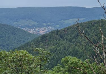
guebwiller /col de peternit/münstereckerlé/judenhut/grand ballon
Localisation
Pays :
France
Région :
Grand Est
Département/Province :
Haut-Rhin
Commune :
Guebwiller
Localité :
Unknown
Départ:(Dec)
Départ:(UTM)
365197 ; 5308517 (32T) N.
Commentaires
Randonnées à proximité
Westhalten - Le tour de la vallée Noble
V.T.T.
Difficile
(1)
Westhalten,
Grand Est,
Haut-Rhin,
France
24 km | 33 km-effort
2h 30min
Oui
Rando du 01/08/2024
Marche
Très difficile
Murbach,
Grand Est,
Haut-Rhin,
France
18,9 km | 30 km-effort
5h 53min
Oui
WESTHALTEN ZINKOEPHLE
Marche
Moyen
Westhalten,
Grand Est,
Haut-Rhin,
France
10,6 km | 15,3 km-effort
2h 56min
Oui
Rando Marcheurs..04/04_2025
Marche
Très difficile
Soultz-Haut-Rhin,
Grand Est,
Haut-Rhin,
France
21 km | 35 km-effort
4h 42min
Oui
Rando Retrouvailles...01/03/2024.par Jean Marc
Marche
Très difficile
Jungholtz,
Grand Est,
Haut-Rhin,
France
11,3 km | 19,2 km-effort
1h 35min
Oui
Westhalten - Rouffach
Marche
Difficile
Westhalten,
Grand Est,
Haut-Rhin,
France
8,9 km | 13 km-effort
3h 22min
Oui
TL 11/23 avec un petit tour dans le vignoble avec départ du parking Côte de l...
Marche
Moyen
(1)
Buhl,
Grand Est,
Haut-Rhin,
France
8,7 km | 12 km-effort
2h 43min
Oui
La " Jean Marc du jour 24/06_2023
Marche
Très difficile
Murbach,
Grand Est,
Haut-Rhin,
France
14,7 km | 28 km-effort
4h 3min
Oui