


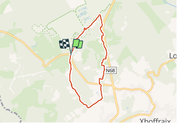


16,7 km | 22 km-effort

Utilisateur GUIDE


Application GPS de randonnée GRATUITE
 SityTrail
IGN / Instituts géographiques
SityTrail World
Le monde est à vous
Randonnée Marche de 5,9 km à découvrir à Wallonie, Liège, Malmedy. Cette randonnée est proposée par pierreh01.
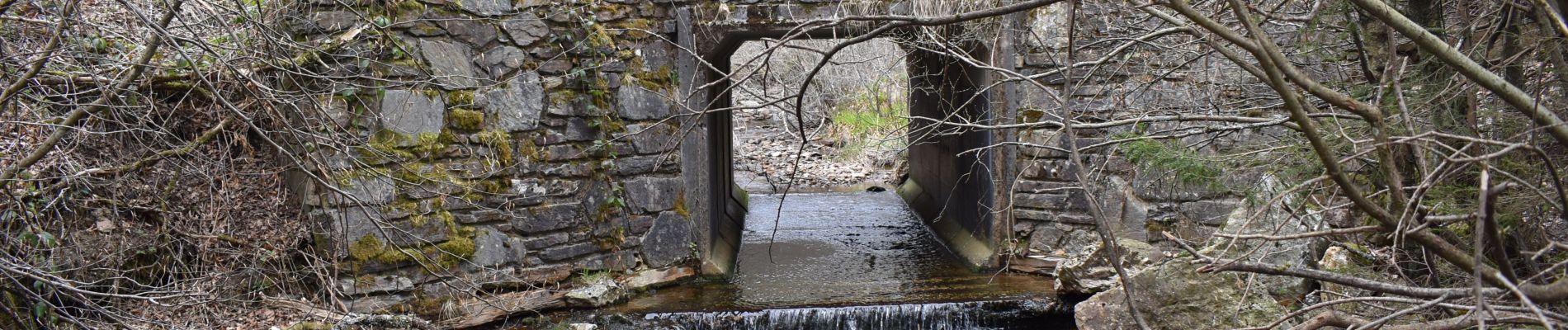
Ce lundi 10 mai 2021, petite balade non balisée le long du Trô Marets, au départ de la Route de l'ancienne douane.


21 photos au total. Cliquez sur une photo pour les afficher toutes dans la galerie.

Marche

Marche


Marche

Marche
Marche
Marche

Marche