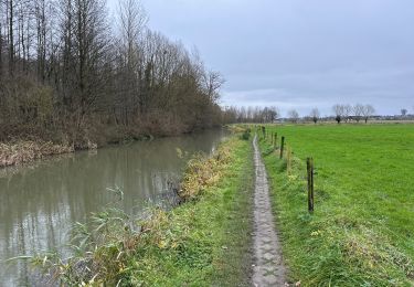
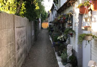
11,2 km | 13,1 km-effort
Waterroute
oostvlaanderen
Utilisateur
Longueur
57 km
Altitude max
87 m
Dénivelé positif
467 m
Km-Effort
63 km
Altitude min
5 m
Dénivelé négatif
467 m
Boucle
Oui
Date de création :
2014-12-10 00:00:00.0
Dernière modification :
2014-12-10 00:00:00.0
--
Difficulté : Inconnu
Application GPS de randonnée GRATUITE
À propos
Randonnée Vélo de 57 km à découvrir à Flandre, Flandre orientale, Oosterzele. Cette randonnée est proposée par oostvlaanderen.
Points d'intérêt
Localisation
Pays :
Belgique
Région :
Flandre
Département/Province :
Flandre orientale
Commune :
Oosterzele
Localité :
Oosterzele
Départ:(Dec)
Départ:(UTM)
556689 ; 5644076 (31U) N.
Commentaires
Randonnées à proximité
Natuurwandeling Cotthem
A pied
Facile
Hautem-Saint-Liévin,
Flandre,
Flandre orientale,
Belgique
2h 58min
Oui
Oosterzele Bunker - 12 km RT
Marche
Très facile
(2)
Oosterzele,
Flandre,
Flandre orientale,
Belgique
12,1 km | 13,4 km-effort
Inconnu
Oui
Gontrode Munkzwalm 25 km
Marche
Moyen
Melle,
Flandre,
Flandre orientale,
Belgique
25 km | 28 km-effort
7h 21min
Non
Bunker Wandelroute
A pied
Facile
Oosterzele,
Flandre,
Flandre orientale,
Belgique
12,2 km | 13,5 km-effort
3h 3min
Oui
Bottelare Munte Baaigem en terug
Marche
Facile
Merelbeke,
Flandre,
Flandre orientale,
Belgique
21 km | 23 km-effort
4h 2min
Non
Bottelare Munte Baaigem en terug
Marche
Facile
Merelbeke,
Flandre,
Flandre orientale,
Belgique
15,6 km | 17,3 km-effort
3h 49min
Oui
Merelbeke Scheldevallei
Marche
Facile
Merelbeke,
Flandre,
Flandre orientale,
Belgique
7,2 km | 8 km-effort
1h 12min
Oui
Merelbeke - Munte
Marche
Moyen
Merelbeke,
Flandre,
Flandre orientale,
Belgique
23 km | 24 km-effort
4h 8min
Oui
Bunkerroute Gijzenzele
Marche
Facile
Oosterzele,
Flandre,
Flandre orientale,
Belgique
10,2 km | 11,3 km-effort
3h 7min
Oui