


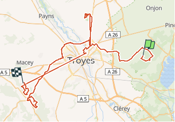

20 km | 24 km-effort


Utilisateur


Application GPS de randonnée GRATUITE
 SityTrail
IGN / Instituts géographiques
SityTrail World
Le monde est à vous
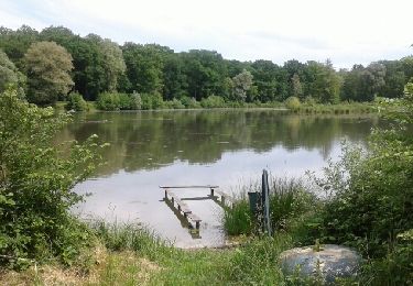
Randonnée Marche de 126 km à découvrir à Grand Est, Aube, Laubressel. Cette randonnée est proposée par jacky rahir.
Rando de 9kms.marche

Marche
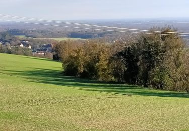
Marche
Marche
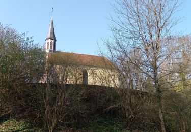
Marche

Marche

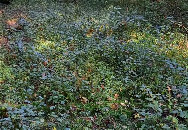
Marche nordique
Marche
Marche