


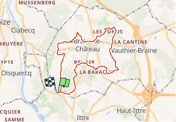

17,1 km | 22 km-effort

Utilisateur


Application GPS de randonnée GRATUITE
 SityTrail
IGN / Instituts géographiques
SityTrail World
Le monde est à vous
Randonnée Marche de 15,2 km à découvrir à Wallonie, Brabant wallon, Ittre. Cette randonnée est proposée par Luberon1963.
Départ de la rue "Bois du Chapitre " (près du hameau " Les Mélèzes").
On part à la découverte de sentiers variés autour de Braine-Le-Château traversant des coins bucoliques et insoupçonnés!
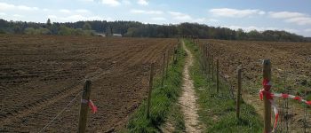
 - Photo 1")
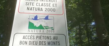
 - Photo 2")
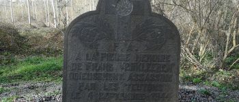
 - Photo 3")
 - Photo 4")
 - Photo 5")

Marche

Marche

Marche

Marche

Marche

Marche

Marche

Marche
Marche