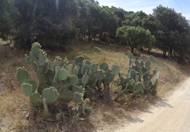
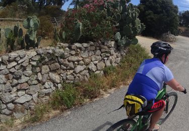
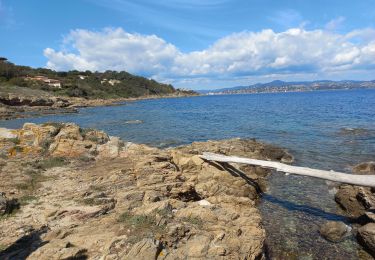
8,1 km | 10,6 km-effort
Plan-de-la-Tour - 15710 - UtagawaVTT.com
Derrendinger
Utilisateur
Longueur
35 km
Altitude max
385 m
Dénivelé positif
808 m
Km-Effort
46 km
Altitude min
0 m
Dénivelé négatif
807 m
Boucle
Oui
Date de création :
2021-05-02 19:37:56.774
Dernière modification :
2021-05-02 19:38:23.277
3h11
Difficulté : Très difficile
Application GPS de randonnée GRATUITE
À propos
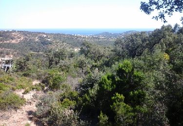
Randonnée V.T.T. de 35 km à découvrir à Provence-Alpes-Côte d'Azur, Var, Grimaud. Cette randonnée est proposée par Derrendinger.
Localisation
Pays :
France
Région :
Provence-Alpes-Côte d'Azur
Département/Province :
Var
Commune :
Grimaud
Localité :
Unknown
Départ:(Dec)
Départ:(UTM)
303638 ; 4794809 (32T) N.
Commentaires
Randonnées à proximité
peinier
V.T.T.
Moyen
(1)
Cogolin,
Provence-Alpes-Côte d'Azur,
Var,
France
30 km | 40 km-effort
1h 57min
Oui
Golfe de St Tropez
Marche
Difficile
(2)
Saint-Tropez,
Provence-Alpes-Côte d'Azur,
Var,
France
15,1 km | 17,6 km-effort
4h 30min
Oui
Gavotte- Bagueirède sud - Peinier - Bord de Mole
Marche
Difficile
(1)
Cogolin,
Provence-Alpes-Côte d'Azur,
Var,
France
12 km | 17,3 km-effort
5h 0min
Oui
VTT de Port -Grimaud
V.T.T.
Moyen
Grimaud,
Provence-Alpes-Côte d'Azur,
Var,
France
21 km | 26 km-effort
1h 45min
Oui
VTT du Plan de la Tour
V.T.T.
Difficile
(1)
Grimaud,
Provence-Alpes-Côte d'Azur,
Var,
France
35 km | 46 km-effort
2h 59min
Oui
La Nartelle- depart Bourrian
V.T.T.
Moyen
(1)
Gassin,
Provence-Alpes-Côte d'Azur,
Var,
France
24 km | 31 km-effort
3h 11min
Oui
Patapan
V.T.T.
Moyen
(1)
Gassin,
Provence-Alpes-Côte d'Azur,
Var,
France
37 km | 47 km-effort
2h 24min
Non
St Tropez littoral
Marche
Moyen
Saint-Tropez,
Provence-Alpes-Côte d'Azur,
Var,
France
18,3 km | 22 km-effort
6h 3min
Oui