


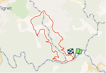

7,3 km | 10,3 km-effort


Utilisateur


Application GPS de randonnée GRATUITE
 SityTrail
IGN / Instituts géographiques
SityTrail World
Le monde est à vous
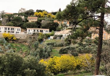
Randonnée A pied de 10 km à découvrir à Provence-Alpes-Côte d'Azur, Alpes-Maritimes, Peymeinade. Cette randonnée est proposée par santaflor.
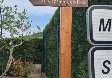
Empruntez la piste de l'Apier,remontez jusqu'à l'avenue de Peygros en contournant le domaine de la Grange- Neuve devenu propriété privée ,puis redescendre sur la piste du Tour Long et rejoindre le parking de la piste du départ.
A pied

Marche
A pied

Marche

Marche


sport
Marche
Marche
Marche