


6,6 km | 8,7 km-effort

Utilisateur GUIDE


Application GPS de randonnée GRATUITE
 SityTrail
IGN / Instituts géographiques
SityTrail World
Le monde est à vous
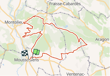
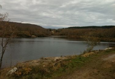
Randonnée Marche de 25 km à découvrir à Occitanie, Aude, Moussoulens. Cette randonnée est proposée par Ada11.
Départ de la rando pas enregistré, environ 500m, devant le café.
Du coup, entre 25 et 25,5 km.
Première moitié un peu ennuyante.


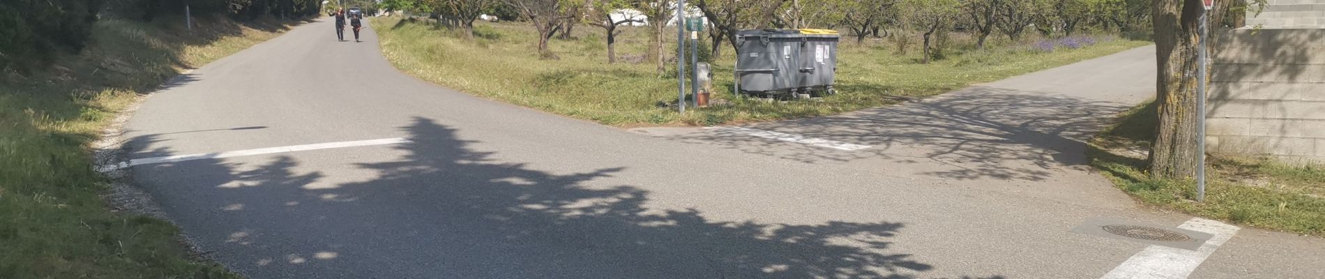
Marche
Marche

Marche
Marche
Marche
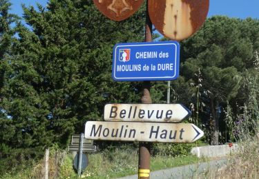
Autre activité
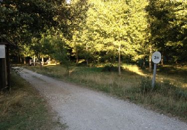
Marche
Marche