


50 km | 58 km-effort

Utilisateur


Application GPS de randonnée GRATUITE
 SityTrail
IGN / Instituts géographiques
SityTrail World
Le monde est à vous
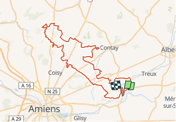
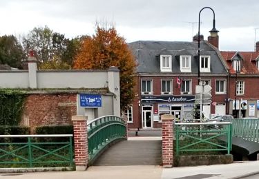
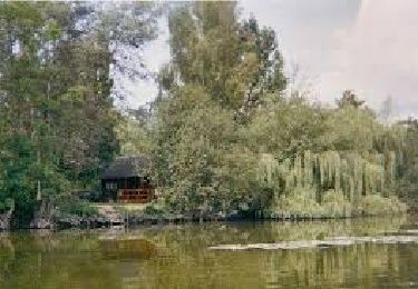
Randonnée Quad de 89 km à découvrir à Hauts-de-France, Somme, Corbie. Cette randonnée est proposée par Eric Bottin.
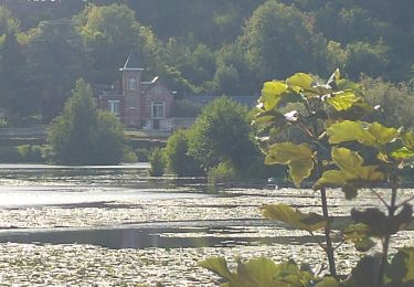
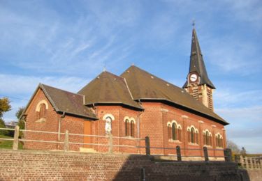
Corbie, pont noyelle , querrieu , st gratien rainneville, villers bocage ,naours , la vicogne , talmas rubempres ,moliens au bois frechemcourt ,la houssoye heilly corbie


V.T.T.
Marche
A pied
A pied
Quad
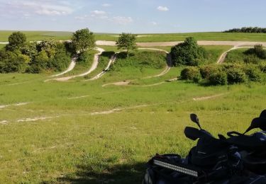
Quad
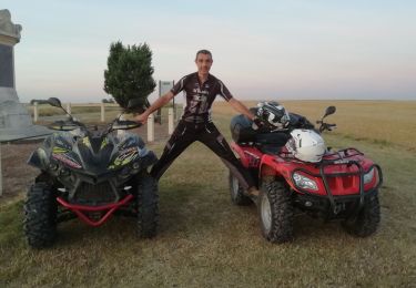
Quad
Marche
Marche