


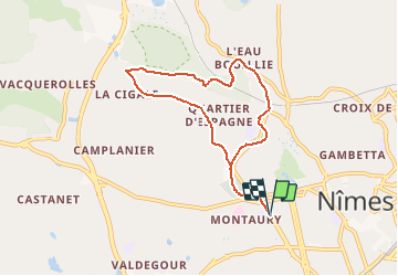

7,1 km | 8,4 km-effort


Utilisateur


Application GPS de randonnée GRATUITE
 SityTrail
IGN / Instituts géographiques
SityTrail World
Le monde est à vous
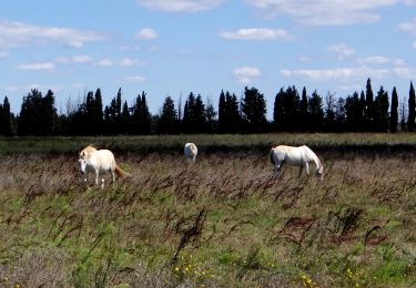
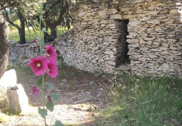
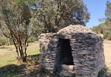
Randonnée Marche de 7,8 km à découvrir à Occitanie, Gard, Nîmes. Cette randonnée est proposée par jll7513.
Départ du lycée Albert Camus Avenue Georges Pompidou, puis le Cadereau, chapelle Sainte Rita Sainte Madeleine, bois des Espeisses et retour par chemin de la Cigale
Marche
Marche
Marche
Marche

Marche
Marche
Marche
Marche
Marche