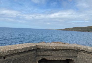
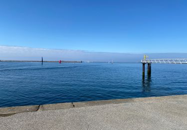
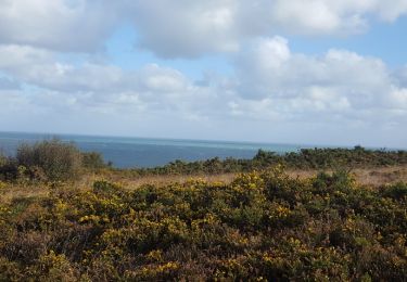
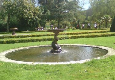
6,6 km | 8,7 km-effort
h piquot
AMOURETTE
Utilisateur
Longueur
10,9 km
Altitude max
149 m
Dénivelé positif
210 m
Km-Effort
13,7 km
Altitude min
0 m
Dénivelé négatif
211 m
Boucle
Oui
Date de création :
2021-04-27 12:04:10.027
Dernière modification :
2021-04-27 15:12:00.702
2h38
Difficulté : Difficile
Application GPS de randonnée GRATUITE
À propos
Randonnée Marche de 10,9 km à découvrir à Normandie, Manche, Digosville. Cette randonnée est proposée par AMOURETTE.
Localisation
Pays :
France
Région :
Normandie
Département/Province :
Manche
Commune :
Digosville
Localité :
Unknown
Départ:(Dec)
Départ:(UTM)
606360 ; 5499636 (30U) N.
Commentaires
Randonnées à proximité
Bretteville Pointe de la Bricq
Marche
Bretteville,
Normandie,
Manche,
France
7,3 km | 8,3 km-effort
2h 19min
Oui
Autour de Cherbourg en vélo
Vélo de route
Très facile
Cherbourg-en-Cotentin,
Normandie,
Manche,
France
24 km | 26 km-effort
2h 12min
Oui
Tourlaville : 22 octobre 2017
Marche
Facile
Cherbourg-en-Cotentin,
Normandie,
Manche,
France
6,2 km | 7,5 km-effort
1h 2min
Oui
Relais des 4 châteaux 2013 - Tourlaville
V.T.T.
Difficile
Cherbourg-en-Cotentin,
Normandie,
Manche,
France
30 km | 38 km-effort
3h 0min
Oui
Le colignon
Marche
Très facile
(1)
Cherbourg-en-Cotentin,
Normandie,
Manche,
France
5,8 km | 7,2 km-effort
1h 34min
Oui
Anse du Brick ET Les Landes
Marche
Moyen
Maupertus-sur-Mer,
Normandie,
Manche,
France
14 km | 18 km-effort
3h 56min
Oui
Maupertus
Marche
Moyen
Maupertus-sur-Mer,
Normandie,
Manche,
France
6,5 km | 8,6 km-effort
2h 8min
Oui
Tourlaville - Collignon
Marche
Moyen
Cherbourg-en-Cotentin,
Normandie,
Manche,
France
9,8 km | 11,5 km-effort
2h 4min
Oui