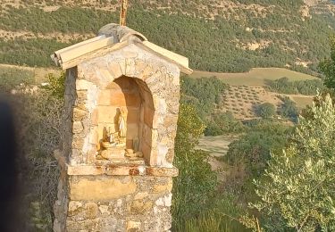
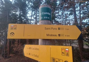
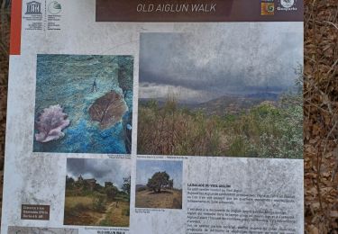
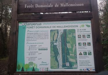
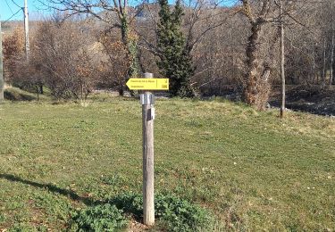
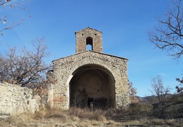
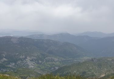
Randonnée  Aiglun - 2021-04-26_09h59m10_SityTrail - 2750141 - tour-ax-aiglun - Photo

2021-04-26_09h59m10_SityTrail - 2750141 - tour-ax-aiglun

 patrice.marckt
patrice.marckt

Utilisateur

© OpenStreetMap contributors
Longueur
Longueur
6,9 km
Altitude max
Altitude max
627 m
Dénivelé positif
Dénivelé positif
169 m
Km-Effort
Km-Effort  
9,2 km
Altitude min
Altitude min
501 m
Dénivelé négatif
Dénivelé négatif
169 m
Boucle
Boucle
Oui
Date de création :
2021-04-26 07:59:10.587
Dernière modification :
2021-04-26 07:59:10.354

(1 Avis)


Scannez ce code QR pour ouvrir la randonnée dans l'application SityTrail

Application GPS de randonnée GRATUITE

Logo SityTrail SityTrail

IGN / Instituts géographiques

Télécharger SityTrail sur l'App Store Télécharger SityTrail sur Google Play

Logo SityTrail SityTrail World

Le monde est à vous

Télécharger SityTrail sur l'App Store Télécharger SityTrail sur Google Play Télécharger SityTrail sur Huawei AppGallery

À propos

Randonnée de 6,9 km à découvrir à Provence-Alpes-Côte d'Azur, Alpes-de-Haute-Provence, Aiglun. Cette randonnée est proposée par patrice.marckt.

Profil altimétrique

Localisation

Pays :
France
Région :
Provence-Alpes-Côte d'Azur
Département/Province :
Alpes-de-Haute-Provence
Commune :
Aiglun
Localité :
Unknown
Départ:(Dec)
Départ:(UTM)
271595 ; 4881560 (32T) N.

Commentaires

Veuillez vous connecter pour laisser un commentaire ou une note


Randonnées à proximité

Randonnée Marche Le Chaffaut-Saint-Jurson - ESPINOUSSE . LES RAGOTS O L S - Photo
Marche
RobinMicheline

Marche

Facile
Le Chaffaut-Saint-Jurson, Provence-Alpes-Côte d'Azur, Alpes-de-Haute-Provence, France
8 km | 12,6 km-effort
2h 12min
Oui
Randonnée Marche Digne-les-Bains - Rando Col de Peipin Courbons - Photo
Marche
Marchopier

Marche

Moyen
Digne-les-Bains, Provence-Alpes-Côte d'Azur, Alpes-de-Haute-Provence, France
18,5 km | 27 km-effort
5h 55min
Oui
Randonnée Marche Mallemoisson - MALLEMOISSON . LES THUMINS . LE CHATEAU . MIRABEAU . CHAPELLE S PHILIPPE . N.    EAU  - Photo
Marche
RobinMicheline

Marche

Moyen
Mallemoisson, Provence-Alpes-Côte d'Azur, Alpes-de-Haute-Provence, France
15,5 km | 22 km-effort
4h 4min
Oui
Randonnée Marche Aiglun - AIGLUN.  Le vieil Aiglun , sommet du Puy o l s - Photo
Marche
RobinMicheline

Marche

Moyen
Aiglun, Provence-Alpes-Côte d'Azur, Alpes-de-Haute-Provence, France
7 km | 11,9 km-effort
2h 14min
Oui
Randonnée V.T.T. Mirabeau - [PAT] Rando Mirabosse 2013 - Photo
V.T.T.
spiroudigne

V.T.T.

Moyen
(2)
Mirabeau, Provence-Alpes-Côte d'Azur, Alpes-de-Haute-Provence, France
16,9 km | 25 km-effort
1h 36min
Oui
Randonnée V.T.T. Digne-les-Bains - Grande Traversée des PréAlpes à VTT : La Jasse - Col de Pierre Basse - Photo
V.T.T.
tracegps

V.T.T.

Difficile
Digne-les-Bains, Provence-Alpes-Côte d'Azur, Alpes-de-Haute-Provence, France
24 km | 35 km-effort
3h 30min
Non
Randonnée Marche Mallemoisson - MALLEMOISSON . A LA DÉCOUVERTE DE MALLEMOISSON . N - Photo
Marche
RobinMicheline

Marche

Moyen
Mallemoisson, Provence-Alpes-Côte d'Azur, Alpes-de-Haute-Provence, France
11,1 km | 15,1 km-effort
3h 4min
Oui
Randonnée V.T.T. Mallemoisson - rando verdon - Photo
V.T.T.
tintin73

V.T.T.

Très difficile
Mallemoisson, Provence-Alpes-Côte d'Azur, Alpes-de-Haute-Provence, France
194 km | 259 km-effort
10h 41min
Oui
Randonnée Marche Mirabeau - MIRABEAU . LE CHATEAU . COL DES PENITENTS .  AR .  o n  - Photo
Marche
RobinMicheline

Marche

Moyen
Mirabeau, Provence-Alpes-Côte d'Azur, Alpes-de-Haute-Provence, France
13 km | 17,4 km-effort
3h 22min
Non


Fermer
Mes abonnements