


21 km | 24 km-effort

Utilisateur


Application GPS de randonnée GRATUITE
 SityTrail
IGN / Instituts géographiques
SityTrail World
Le monde est à vous
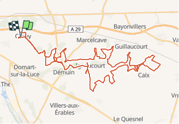
Randonnée Quad de 64 km à découvrir à Hauts-de-France, Somme, Cachy. Cette randonnée est proposée par Eric Bottin.
cachy ,domart , demuin, hangar ,caix, ignaucourt aubercourt .et demi tour


Marche nordique
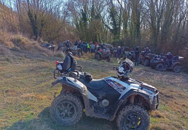
Quad

V.T.T.
Marche

Marche
Marche
V.T.T.
Marche
V.T.T.
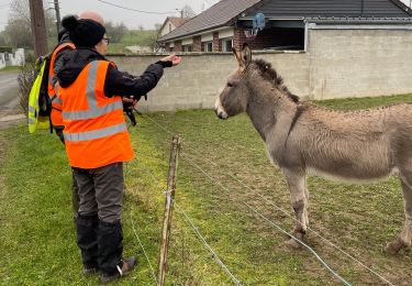
Très bonne rando très variée, c’était vraiment sympa.