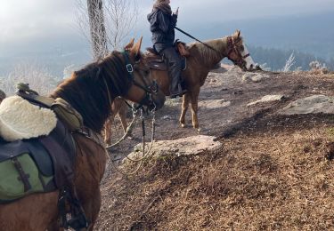
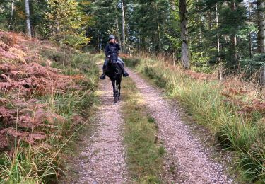
28 km | 37 km-effort
Circuit raon
audrey54
Utilisateur
Longueur
12,3 km
Altitude max
426 m
Dénivelé positif
294 m
Km-Effort
16,3 km
Altitude min
276 m
Dénivelé négatif
302 m
Boucle
Oui
Date de création :
2021-04-23 06:58:08.0
Dernière modification :
2021-04-23 09:12:00.706
2h09
Difficulté : Difficile
Application GPS de randonnée GRATUITE
À propos
Randonnée Marche de 12,3 km à découvrir à Grand Est, Vosges, Raon-l'Étape. Cette randonnée est proposée par audrey54.
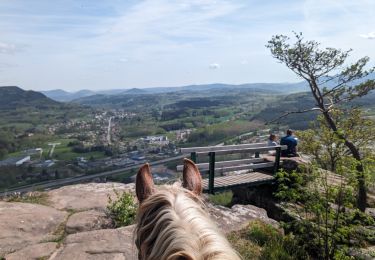
Localisation
Pays :
France
Région :
Grand Est
Département/Province :
Vosges
Commune :
Raon-l'Étape
Localité :
Unknown
Départ:(Dec)
Départ:(UTM)
339540 ; 5364853 (32U) N.
Commentaires
Randonnées à proximité
2024-04-14 WE CVA Etival Clairefontaine Pierre Appel
Randonnée équestre
Moyen
(1)
Étival-Clairefontaine,
Grand Est,
Vosges,
France
4h 51min
Oui
Reconnaissance patrice 2024
Randonnée équestre
Moyen
(1)
Raon-l'Étape,
Grand Est,
Vosges,
France
15,7 km | 21 km-effort
2h 42min
Oui
sortie vtt du 20062015
V.T.T.
Difficile
(1)
Raon-l'Étape,
Grand Est,
Vosges,
France
21 km | 28 km-effort
1h 50min
Oui
sortie vtt 03112019 la trouche
V.T.T.
Moyen
Raon-l'Étape,
Grand Est,
Vosges,
France
18,6 km | 26 km-effort
1h 45min
Oui
sortie VTT du 19052019 Pierre d'appel
V.T.T.
Moyen
Raon-l'Étape,
Grand Est,
Vosges,
France
20 km | 27 km-effort
1h 42min
Oui
sortie vtt du 12052018 pierre d'appel
V.T.T.
Difficile
Raon-l'Étape,
Grand Est,
Vosges,
France
15 km | 21 km-effort
1h 31min
Oui
raon etival raon
V.T.T.
Moyen
(1)
Raon-l'Étape,
Grand Est,
Vosges,
France
16,1 km | 25 km-effort
1h 35min
Oui
Yoigo kalio la chipotte étang de saint-rémy
Randonnée équestre
Moyen
Raon-l'Étape,
Grand Est,
Vosges,
France
22 km | 29 km-effort
3h 47min
Non
Joyeux Harold
Randonnée équestre
Facile
Raon-l'Étape,
Grand Est,
Vosges,
France
9 km | 12,5 km-effort
1h 38min
Oui