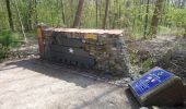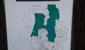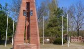

Sentiers botaniques d'Holtzwihr et de Riedwihr

zazie
Utilisateur

Longueur
16,6 km

Altitude max
193 m

Dénivelé positif
116 m

Km-Effort
18,2 km

Altitude min
174 m

Dénivelé négatif
116 m
Boucle
Oui
Date de création :
2021-04-20 09:36:47.908
Dernière modification :
2021-04-22 06:33:50.162
3h12
Difficulté : Très facile

Application GPS de randonnée GRATUITE
À propos
Randonnée Marche de 16,6 km à découvrir à Grand Est, Haut-Rhin, Porte-du-Ried. Cette randonnée est proposée par zazie.
Description
Combinaison des différents sentiers de la paix, de la martre, de l'alouette...
Quelques passages prévus dans les traces originelles se font le long des routes.
Localisation
Pays :
France
Région :
Grand Est
Département/Province :
Haut-Rhin
Commune :
Porte-du-Ried
Localité :
Holtzwihr
Départ:(Dec)
Départ:(UTM)
382482 ; 5331150 (32U) N.
Commentaires
Randonnées à proximité

Covid-19 - A la recherche du cercle parfait


Course à pied
Très facile
(1)
Colmar,
Grand Est,
Haut-Rhin,
France

11,2 km | 11,9 km-effort
1h 0min
Oui

grand tour de Colmar


Marche
Très facile
(1)
Colmar,
Grand Est,
Haut-Rhin,
France

4,7 km | 5,1 km-effort
1h 22min
Oui
Colmar petite Venise


Marche
Colmar,
Grand Est,
Haut-Rhin,
France

9,3 km | 10,1 km-effort
3h 16min
Oui

Sur les sentiers d'Holtzwihr et de Riedwihr


Marche
Très facile
Porte-du-Ried,
Grand Est,
Haut-Rhin,
France

16,6 km | 18,2 km-effort
3h 12min
Oui
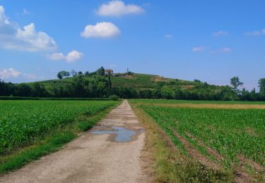
Vélo randonnée Colmar Guebwiller


V.T.C.
Facile
Colmar,
Grand Est,
Haut-Rhin,
France

59 km | 64 km-effort
3h 29min
Oui

Colmar centre Enseignes


A pied
Facile
Colmar,
Grand Est,
Haut-Rhin,
France

4,8 km | 5,2 km-effort
Inconnu
Oui
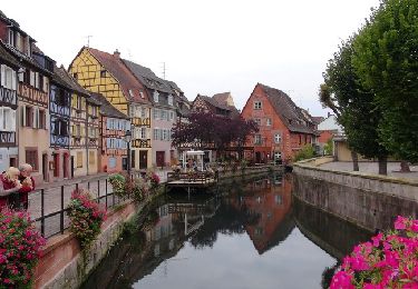
Colmar - Circuit découverte


Marche
Facile
(3)
Colmar,
Grand Est,
Haut-Rhin,
France

3,3 km | 3,6 km-effort
1h 30min
Oui
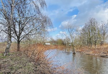
Le long de la rivière Fecht à Ostheim en France


Marche
Facile
Ostheim,
Grand Est,
Haut-Rhin,
France

2,3 km | 2,5 km-effort
33min
Oui


 SityTrail


